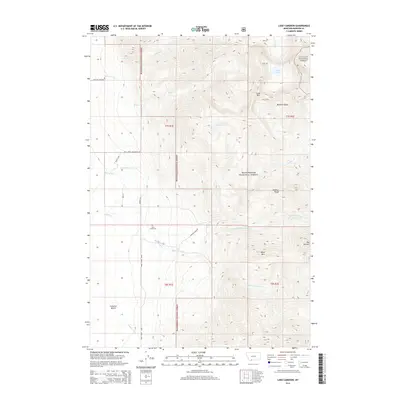
2014 Map of Lake Cameron
USGS Topo · Published 2014About this map
Granger Ranches and the surrounding high-altitude drainage basins define this portion of Madison County, where the Madison Range meets the timbered slopes of the Beaverhead National Forest and Gallatin National Forest. This 2014 survey documents a landscape dominated by water management and mountainous terrain, anchored by the Bear Creek Cem in the lower valleys. A complex network of irrigation and mountain runoff is evident through features like the Bear-Cr Ditch, Indian Cr Ditch, and the numerous branches of Bear Cr, including its north, middle, and trail forks.
Find a feature on this map
33 named features on this map. Tap any name to fly to it.
Don’t see what you’re looking for? This feature index may not catch every label — zoom into the map to look around manually.
Map Details
Editions of this 2014 Lake Cameron Map
This is the sole edition of this map. No revisions or reprints were ever made.
Other maps of this area

1888 · Three Forks
USGS Topo · 1:250,000

1894 · Three Forks
USGS Topo · 1:250,000

1895 · Three Forks
USGS Topo · 1:250,000

1947 · Bozeman
USGS Topo · 1:250,000

1948 · Bozeman
USGS Topo · 1:250,000

1949 · Ennis
USGS Topo · 1:62,500

1950 · Cameron
USGS Topo · 1:62,500

1950 · Spanish Peaks
USGS Topo · 1:62,500

1950 · Sphinx Mountain
USGS Topo · 1:62,500

1955 · Bozeman
USGS Topo · 1:250,000