
1949 Map of Ennis
USGS Topo · Published 1954About this map
Ennis serves as the hub of this Madison County landscape, situated west of the Madison River and north of the expansive Alluvial Fan spreading from the Beaverhead Mountains. In the late 1940s, the region was defined by a ranching and recreational economy, evidenced by named properties like the Jumping Horse Stock Ranch and Valley Garden Ranch, alongside guest accommodations such as the Windy Water Resort and Lake Shore Lodge. To the north, Ennis Lake dominates the valley floor, powered by the Madison Powerhouse and its older counterpart near Mc Allister. The map documents early aviation and infrastructure in the valley, including the Harris Inn Landing Field and the Cedar Creek Aqueduct. Higher elevations to the east reach into the Gallatin National Forest, where the Cherry Creek Ranger Station and Fan Mountain overlook the drainage systems of Cherry Creek and Jack Creek.
Find a feature on this map
65 named features on this map. Tap any name to fly to it.
Don’t see what you’re looking for? This feature index may not catch every label — zoom into the map to look around manually.
Map Details
Editions of this 1949 Ennis Map
11 editions found
1954 edition
17.05 x 21.21 inches
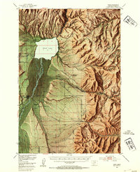
1954 edition
17 x 20.8 inches
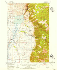
1954 edition
17 x 20.8 inches
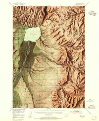
1955 edition
16.9 x 20.8 inches
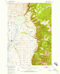
1958 edition
16.9 x 20.8 inches
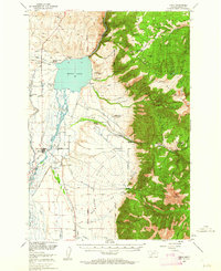
1962 edition
17 x 20.8 inches
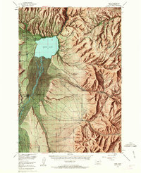
1963 edition
16.9 x 20.9 inches
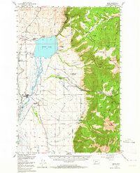
1964 edition
17 x 20.8 inches
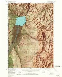
1965 edition
16.9 x 20.8 inches
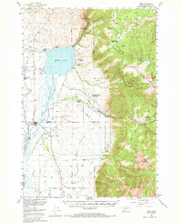
1969 edition
17 x 20.8 inches
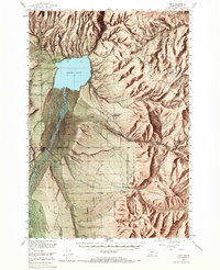
1969 edition
16.9 x 20.8 inches
Other maps of this area

1888 · Three Forks
USGS Topo · 1:250,000

1894 · Three Forks
USGS Topo · 1:250,000

1895 · Three Forks
USGS Topo · 1:250,000

1947 · Bozeman
USGS Topo · 1:250,000

1948 · Bozeman
USGS Topo · 1:250,000

1949 · Varney
USGS Topo · 1:62,500

1949 · Anceney
USGS Topo · 1:62,500

1949 · Norris
USGS Topo · 1:62,500

1950 · Cameron
USGS Topo · 1:62,500

1950 · Spanish Peaks
USGS Topo · 1:62,500