
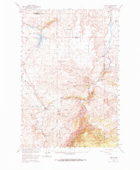
1949 Map of Norris
USGS Topo · Published 1959About this map
The Madison River carves a deep path through this landscape, marking the boundary between Gallatin and Madison counties. In the late 1940s, the area around the settlement of Norris served as a junction for local travel and industry, anchored by the Northern Pacific railroad line. The map reveals a transition from the agricultural operations of the Denike Ranch and Noble Ranch to the industrial remains of the local mining district.
Find a feature on this map
36 named features on this map. Tap any name to fly to it.
Don’t see what you’re looking for? This feature index may not catch every label — zoom into the map to look around manually.
Map Details
Editions of this 1949 Norris Map
2 editions found
Other maps of this area

1888 · Three Forks
USGS Topo · 1:250,000

1894 · Three Forks
USGS Topo · 1:250,000

1895 · Three Forks
USGS Topo · 1:250,000

1947 · Bozeman
USGS Topo · 1:250,000

1948 · Bozeman
USGS Topo · 1:250,000

1949 · Anceney
USGS Topo · 1:62,500

1949 · Manhattan
USGS Topo · 1:62,500

1949 · Ennis
USGS Topo · 1:62,500

1950 · Three Forks
USGS Topo · 1:62,500

1950 · Spanish Peaks
USGS Topo · 1:62,500