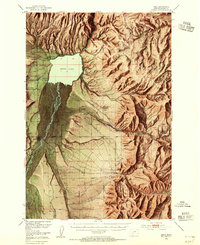
1949 Map of Ennis
USGS Topo · Published 1955About this map
The Madison River valley dominates this post-war landscape, where the waters of Ennis Lake meet the towering heights of the Madison Range. This survey, compiled for the Bureau of Reclamation, details a transitional period of agricultural and recreational growth. While ranching remains a primary influence at the Shellhamer Ranch and H Lazy B Ranch, newer developments like the Windy Water Resort and Harris Inn Landing Field point toward the area's emerging status as a destination for outdoor enthusiasts. The map reveals the intricate water management system required for valley life, featuring the Old Madison Powerhouse and a complex network of ditches across the massive Alluvial Fan. Local history and genealogy are well-represented by the town of Ennis, the smaller settlement of Jeffers, and the Ennis Cem, all situated along the river's western banks.
Find a feature on this map
52 named features on this map. Tap any name to fly to it.
Don’t see what you’re looking for? This feature index may not catch every label — zoom into the map to look around manually.
Map Details
Editions of this 1949 Ennis Map
11 editions found

1954 edition
17.05 x 21.21 inches
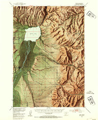
1954 edition
17 x 20.8 inches
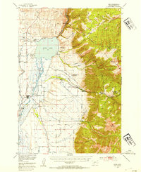
1954 edition
17 x 20.8 inches
1955 edition
16.9 x 20.8 inches
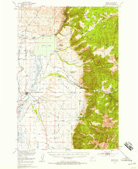
1958 edition
16.9 x 20.8 inches
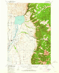
1962 edition
17 x 20.8 inches
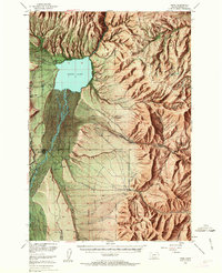
1963 edition
16.9 x 20.9 inches
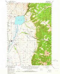
1964 edition
17 x 20.8 inches
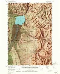
1965 edition
16.9 x 20.8 inches
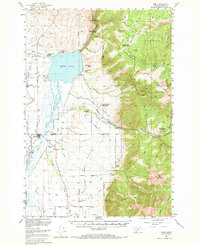
1969 edition
17 x 20.8 inches
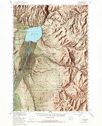
1969 edition
16.9 x 20.8 inches
Other maps of this area

1888 · Three Forks
USGS Topo · 1:250,000

1894 · Three Forks
USGS Topo · 1:250,000

1895 · Three Forks
USGS Topo · 1:250,000

1947 · Bozeman
USGS Topo · 1:250,000

1948 · Bozeman
USGS Topo · 1:250,000

1949 · Varney
USGS Topo · 1:62,500

1949 · Anceney
USGS Topo · 1:62,500
1949 · Ennis
USGS Topo · 1:62,500

1949 · Norris
USGS Topo · 1:62,500

1950 · Cameron
USGS Topo · 1:62,500