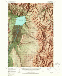
1949 Map of Ennis
USGS Topo · Published 1963About this map
The Madison River valley and the high peaks of the Madison Range dominate this landscape, which captures a vital intersection of ranching and hydroelectric power at mid-century. The impoundment of Ennis Lake is central to the area's development, supported by the Madison Powerhouse and the Old Madison Powerhouse located further north along the canyon. The valley floor reveals a dense network of family-owned ranching operations such as the Jumping Horse Stock Ranch, Shelhamer Ranch, and Lawton Ranch, all sustained by intricate irrigation works like the CH Lazy B Ditch.
Find a feature on this map
61 named features on this map. Tap any name to fly to it.
Don’t see what you’re looking for? This feature index may not catch every label — zoom into the map to look around manually.
Map Details
Editions of this 1949 Ennis Map
11 editions found

1954 edition
17.05 x 21.21 inches
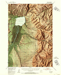
1954 edition
17 x 20.8 inches
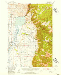
1954 edition
17 x 20.8 inches
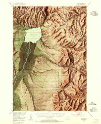
1955 edition
16.9 x 20.8 inches
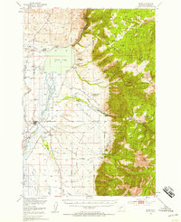
1958 edition
16.9 x 20.8 inches
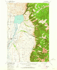
1962 edition
17 x 20.8 inches
1963 edition
16.9 x 20.9 inches
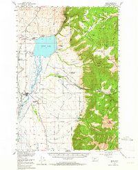
1964 edition
17 x 20.8 inches
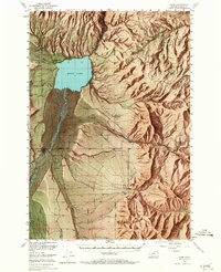
1965 edition
16.9 x 20.8 inches
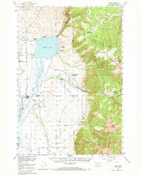
1969 edition
17 x 20.8 inches
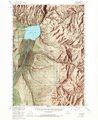
1969 edition
16.9 x 20.8 inches
Other maps of this area

1888 · Three Forks
USGS Topo · 1:250,000

1894 · Three Forks
USGS Topo · 1:250,000

1895 · Three Forks
USGS Topo · 1:250,000

1947 · Bozeman
USGS Topo · 1:250,000

1948 · Bozeman
USGS Topo · 1:250,000

1949 · Varney
USGS Topo · 1:62,500

1949 · Anceney
USGS Topo · 1:62,500
1949 · Ennis
USGS Topo · 1:62,500

1949 · Norris
USGS Topo · 1:62,500

1950 · Cameron
USGS Topo · 1:62,500