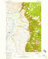
1949 Map of Ennis
USGS Topo · Published 1958About this map
Madison River valley life in the late 1940s is defined by the waters of Ennis Lake, where the Old Madison Powerhouse stands near the dam at the northern reach of the reservoir. The town of Ennis serves as a central hub, flanked by the nearby settlement of Jeffers and the Ennis Cemetery. This era shows a landscape transitioning from traditional ranching to mid-century recreation, evidenced by the presence of Windy Water Resort, Meadow Lake Camp, and the Harris Inn Landing Field. To the east, the topography rises sharply into the Madison Range, where the Gallatin National Forest is managed via remote outposts like the Cherry Creek Ranger Station. The mapping detail captures an intricate network of irrigation through the Fan Alluvium, including the Spring Creek Ditch and numerous family-held properties such as the Jumping Horse Stock Ranch and Shelhamer Ranch.
Find a feature on this map
57 named features on this map. Tap any name to fly to it.
Don’t see what you’re looking for? This feature index may not catch every label — zoom into the map to look around manually.
Map Details
Editions of this 1949 Ennis Map
11 editions found

1954 edition
17.05 x 21.21 inches
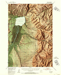
1954 edition
17 x 20.8 inches
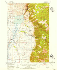
1954 edition
17 x 20.8 inches
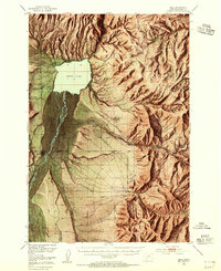
1955 edition
16.9 x 20.8 inches
1958 edition
16.9 x 20.8 inches
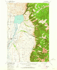
1962 edition
17 x 20.8 inches
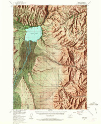
1963 edition
16.9 x 20.9 inches
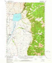
1964 edition
17 x 20.8 inches
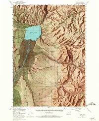
1965 edition
16.9 x 20.8 inches
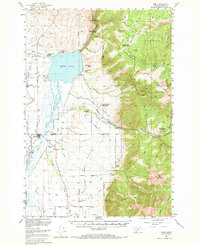
1969 edition
17 x 20.8 inches
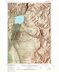
1969 edition
16.9 x 20.8 inches
Other maps of this area

1888 · Three Forks
USGS Topo · 1:250,000

1894 · Three Forks
USGS Topo · 1:250,000

1895 · Three Forks
USGS Topo · 1:250,000

1947 · Bozeman
USGS Topo · 1:250,000

1948 · Bozeman
USGS Topo · 1:250,000

1949 · Varney
USGS Topo · 1:62,500

1949 · Anceney
USGS Topo · 1:62,500
1949 · Ennis
USGS Topo · 1:62,500

1949 · Norris
USGS Topo · 1:62,500

1950 · Cameron
USGS Topo · 1:62,500