1949 Map of Ennis
USGS Topo · Published 1969About this map
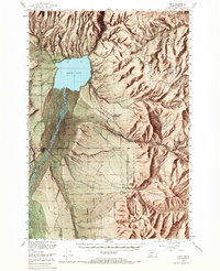
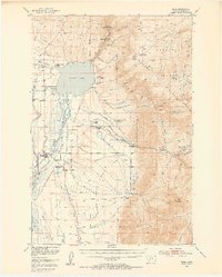
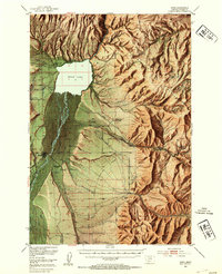
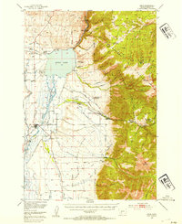
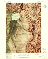
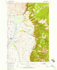
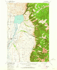
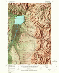
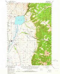
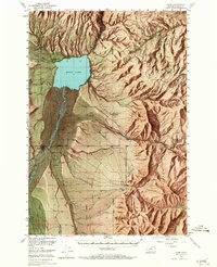
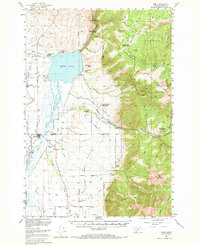
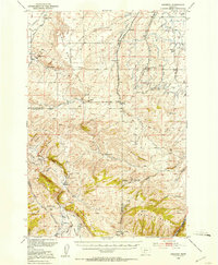
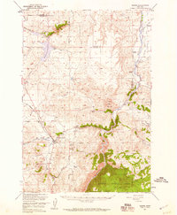
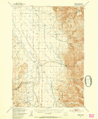
Ennis Lake dominates the upper reach of the Madison River valley, serving as a focal point for both industry and early tourism in the Madison Range foothills. The presence of the Old Madison Powerhouse and the newer Madison Powerhouse downstream from the dam highlights the region's role in early hydroelectric development. The valley floor is defined by an expansive Alluvial Fan and a complex irrigation network of ditches, such as Moores Ditch and West Fork Ditch, which support several family-named ranching operations including the Shelhamer Ranch and the H Lazy B Ranch.
Find a feature on this map
72 named features on this map. Tap any name to fly to it.
Don’t see what you’re looking for? This feature index may not catch every label — zoom into the map to look around manually.
Map Details
Editions of this 1949 Ennis Map
11 editions found
1954 edition
17.05 x 21.21 inches
1954 edition
17 x 20.8 inches
1954 edition
17 x 20.8 inches
1955 edition
16.9 x 20.8 inches
1958 edition
16.9 x 20.8 inches
1962 edition
17 x 20.8 inches
1963 edition
16.9 x 20.9 inches
1964 edition
17 x 20.8 inches
1965 edition
16.9 x 20.8 inches
1969 edition
17 x 20.8 inches
1969 edition
16.9 x 20.8 inches
Other maps of this area

1888 · Three Forks
USGS Topo · 1:250,000

1894 · Three Forks
USGS Topo · 1:250,000

1895 · Three Forks
USGS Topo · 1:250,000

1947 · Bozeman
USGS Topo · 1:250,000

1948 · Bozeman
USGS Topo · 1:250,000
1949 · Varney
USGS Topo · 1:62,500
1949 · Anceney
USGS Topo · 1:62,500
1949 · Ennis
USGS Topo · 1:62,500
1949 · Norris
USGS Topo · 1:62,500
1950 · Cameron
USGS Topo · 1:62,500