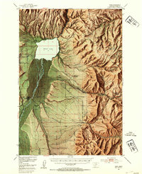
1949 Map of Ennis
USGS Topo · Published 1954About this map
Ennis Lake and the Madison River dominate this 1949 survey of the Madison Valley, reflecting a landscape defined by water management and early 20th-century ranching. The transition from industrial infrastructure to recreational land is evident in the presence of both the Old Madison Powerhouse and the Madison Powerhouse near the Gallatin National Forest boundary. A complex system of irrigation, including the Hammond Ditch, branches across the Alluvial Fan, supporting numerous named properties like the Shelhamer Ranch and Jumping Horse Stock Ranch. Local aviation and hospitality of the era are represented by the Harris Inn Landing Field and Windy Water Resort on the lakeshore. To the west, the settlement of Ennis and the smaller community of Jeffers serve as the valley's hubs, while the Ennis Cem and various ranger stations provide essential points of reference for genealogists and local historians tracking the development of Madison County.
Find a feature on this map
54 named features on this map. Tap any name to fly to it.
Don’t see what you’re looking for? This feature index may not catch every label — zoom into the map to look around manually.
Map Details
Editions of this 1949 Ennis Map
11 editions found

1954 edition
17.05 x 21.21 inches
1954 edition
17 x 20.8 inches
1954 edition
17 x 20.8 inches
1955 edition
16.9 x 20.8 inches
1958 edition
16.9 x 20.8 inches
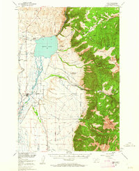
1962 edition
17 x 20.8 inches
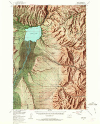
1963 edition
16.9 x 20.9 inches
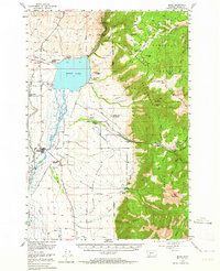
1964 edition
17 x 20.8 inches
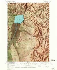
1965 edition
16.9 x 20.8 inches
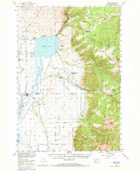
1969 edition
17 x 20.8 inches
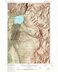
1969 edition
16.9 x 20.8 inches
Other maps of this area

1888 · Three Forks
USGS Topo · 1:250,000

1894 · Three Forks
USGS Topo · 1:250,000

1895 · Three Forks
USGS Topo · 1:250,000

1947 · Bozeman
USGS Topo · 1:250,000

1948 · Bozeman
USGS Topo · 1:250,000

1949 · Varney
USGS Topo · 1:62,500

1949 · Anceney
USGS Topo · 1:62,500
1949 · Ennis
USGS Topo · 1:62,500

1949 · Norris
USGS Topo · 1:62,500

1950 · Cameron
USGS Topo · 1:62,500