1949 Map of Ennis
USGS Topo · Published 1962About this map
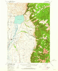
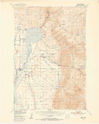
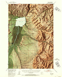
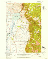
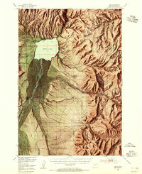
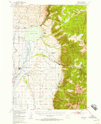
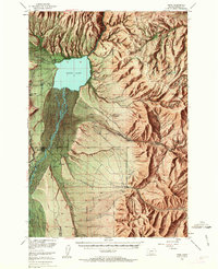
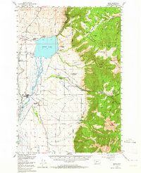
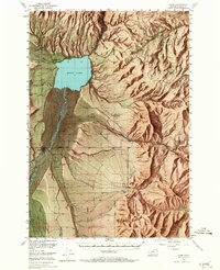
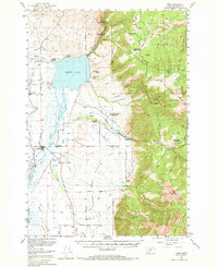
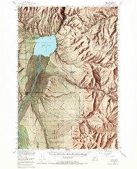
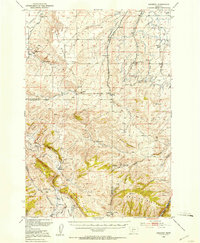
Ennis sits at the heart of this post-war landscape, positioned where the Madison River flows north toward its impoundment at Ennis Lake. The map captures a transitional era for the Madison Valley, balancing traditional livestock operations like Jumping Horse Stock Ranch and Skelhamer Ranch with the emergence of recreational destinations such as Windy Water Resort and Harris Inn. To the east, the topography rises sharply into the Madison Range, where the Gallatin National Forest boundary marks the transition from the irrigated valley floor to the high timber. Historical infrastructure is evident at the Old Madison Powerhouse near the river's outlet from the lake. The extensive Alluvial Fan sprawling from the mountains underscores the geological forces that shaped this fertile basin, supporting a network of ditches like the Spring Creek Ditch and Hodgen Ditch that sustained the region's ranching economy.
Find a feature on this map
57 named features on this map. Tap any name to fly to it.
Don’t see what you’re looking for? This feature index may not catch every label — zoom into the map to look around manually.
Map Details
Editions of this 1949 Ennis Map
11 editions found
1954 edition
17.05 x 21.21 inches
1954 edition
17 x 20.8 inches
1954 edition
17 x 20.8 inches
1955 edition
16.9 x 20.8 inches
1958 edition
16.9 x 20.8 inches
1962 edition
17 x 20.8 inches
1963 edition
16.9 x 20.9 inches
1964 edition
17 x 20.8 inches
1965 edition
16.9 x 20.8 inches
1969 edition
17 x 20.8 inches
1969 edition
16.9 x 20.8 inches
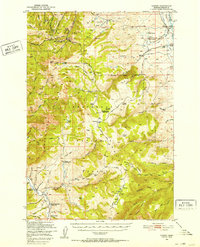
Other maps of this area

1888 · Three Forks
USGS Topo · 1:250,000

1894 · Three Forks
USGS Topo · 1:250,000

1895 · Three Forks
USGS Topo · 1:250,000

1947 · Bozeman
USGS Topo · 1:250,000

1948 · Bozeman
USGS Topo · 1:250,000
1949 · Varney
USGS Topo · 1:62,500
1949 · Anceney
USGS Topo · 1:62,500
1949 · Ennis
USGS Topo · 1:62,500
1949 · Norris
USGS Topo · 1:62,500
1950 · Cameron
USGS Topo · 1:62,500