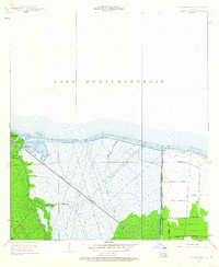
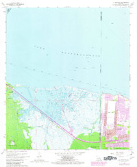
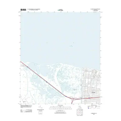
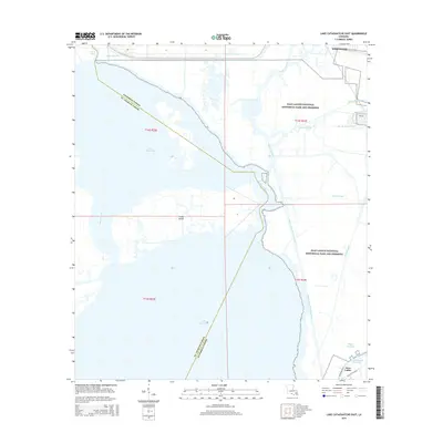
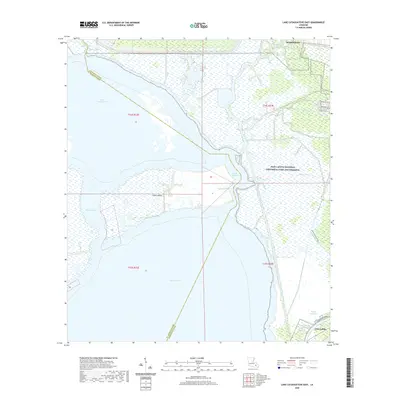
1942 Map of Lake Cataouatche East
USGS Topo · Published 1942About this map
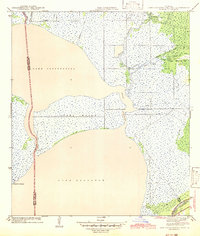
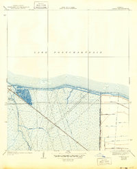
Lake Cataouatche and the northern reaches of Lake Salvador dominate this coastal landscape, illustrating the intricate hydrology of the Jefferson and St. Charles Parish line in the early 1940s. The map captures a transition period where natural bayous like Bayou Segnette and Bayou Couba exist alongside an emerging network of man-made channels, including the Waggaman Canal and Millaudon Canal. These waterways were vital for drainage and navigation in a region where the land was barely above sea level.
Find a feature on this map
22 named features on this map. Tap any name to fly to it.
Don’t see what you’re looking for? This feature index may not catch every label — zoom into the map to look around manually.
Map Details
Editions of this 1942 Lake Cataouatche East Map
This is the sole edition of this map. No revisions or reprints were ever made.
Historical Maps of Westwego Through Time
32 maps found
1932 Hahnville NE
St. Charles Parish, LA
1932 Hahnville NW
St. Charles Parish, LA
1932 Hahnville SW
St. Charles Parish, LA

1932 New Orleans SW
St. Charles Parish, LA
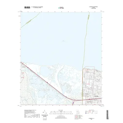
1938 La Branche
St. Charles Parish, LA
1940 Allemands
St. Charles Parish, LA
1942 Lake Cataouatche East
St. Charles Parish, LA
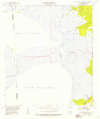
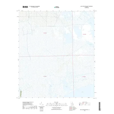
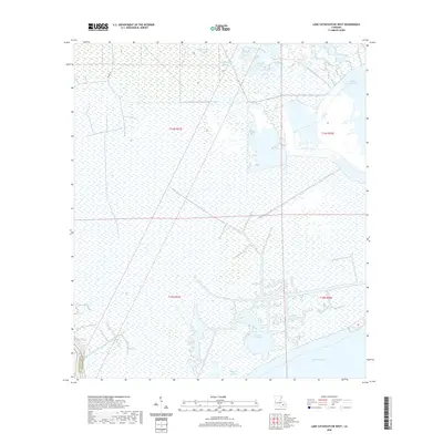
1942 Lake Cataouatche West
St. Charles Parish, LA
1952 Allemands
St. Charles Parish, LA
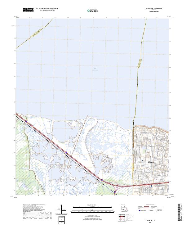
1952 La Branche
St. Charles Parish, LA
1952 Lake Cataouatche East
St. Charles Parish, LA
1952 Lake Cataouatche West
St. Charles Parish, LA
1966 Lake Cataouatche East
St. Charles Parish, LA
1967 La Branche
St. Charles Parish, LA
1967 Lake Cataouatche West
St. Charles Parish, LA
1992 La Branche
St. Charles Parish, LA
1999 La Branche
St. Charles Parish, LA
2012 La Branche
St. Charles Parish, LA
2012 Lake Cataouatche East
St. Charles Parish, LA
2012 Lake Cataouatche West
St. Charles Parish, LA
2015 La Branche
St. Charles Parish, LA
2015 Lake Cataouatche East
St. Charles Parish, LA
2015 Lake Cataouatche West
St. Charles Parish, LA
2018 La Branche
St. Charles Parish, LA
2018 Lake Cataouatche East
St. Charles Parish, LA
2018 Lake Cataouatche West
St. Charles Parish, LA
2020 La Branche
St. Charles Parish, LA
2020 Lake Cataouatche East
St. Charles Parish, LA
2020 Lake Cataouatche West
St. Charles Parish, LA
2024 La Branche
St. Charles Parish, LA
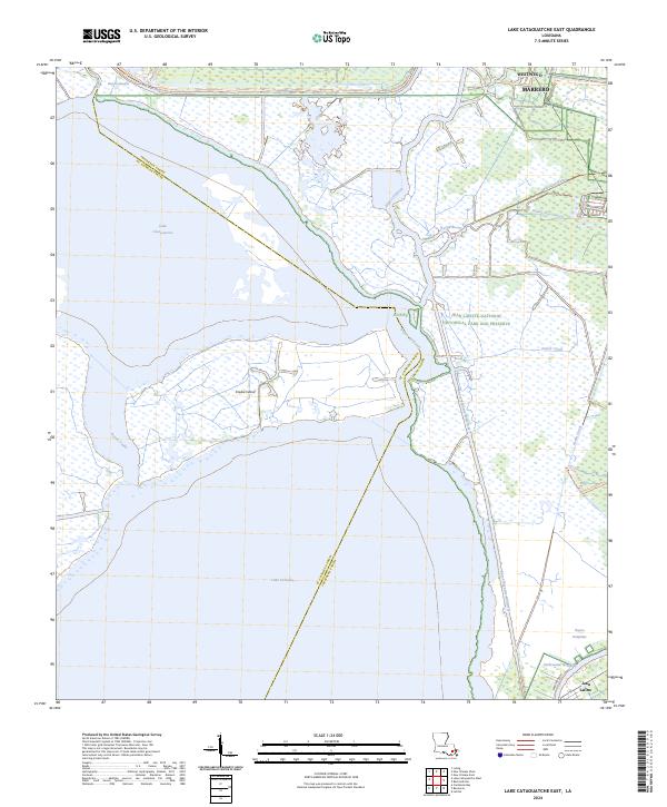
2024 Lake Cataouatche East
St. Charles Parish, LA
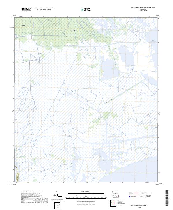
2024 Lake Cataouatche West
St. Charles Parish, LA