
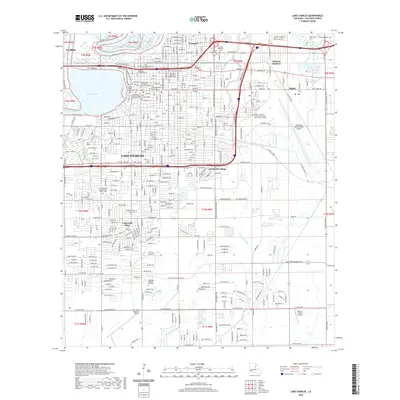
1942 Map of Lake Charles
USGS Topo · Published 1942About this map
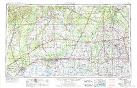
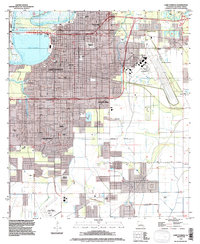
The Calcasieu River defines the western reaches of this 1940s landscape, where the urban development of Lake Charles meets the agricultural prairies of Southwest Louisiana. The map reveals a transition from the city’s industrial and educational hubs, such as Lake Charles Junior College and La Grange High Sch, to a rural interior dictated by irrigation and drainage. A sophisticated network of canals, including the Farmers Land and Canal Co Ditch and the Missouri Pacific Canal, supports the surrounding fields. The southern portion of the survey tracks the boundary between Calcasieu and Cameron Parishes, crossing through Plaquemine Ridge toward the Intracoastal Waterway. This era of growth is evidenced by the presence of the Lake Charles Airport and the Radio Range Beacon, while established rural life continues at Prairieland Community Church and the settlements of Holmwood and Chalkley.
Find a feature on this map
44 named features on this map. Tap any name to fly to it.
Don’t see what you’re looking for? This feature index may not catch every label — zoom into the map to look around manually.
Map Details
Editions of this 1942 Lake Charles Map
This is the sole edition of this map. No revisions or reprints were ever made.
Historical Maps of Lake Charles Through Time
12 maps found
1942 Lake Charles
Calcasieu Parish, LA

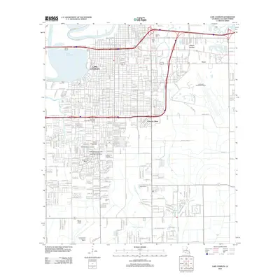
1952 Lake Charles
Calcasieu Parish, LA
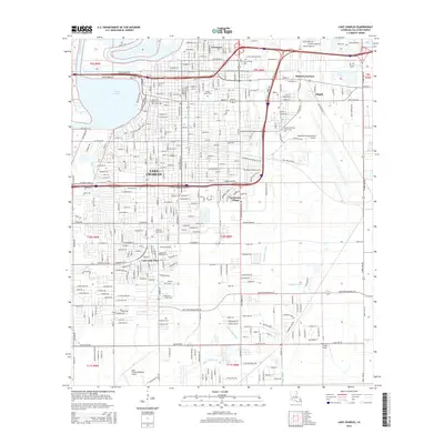
1954 Lake Charles
Calcasieu Parish, LA
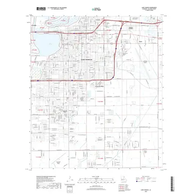
1955 Lake Charles
Calcasieu Parish, LA
1955 Lake Charles
Calcasieu Parish, LA
1986 Lake Charles
Calcasieu Parish, LA
1994 Lake Charles
Calcasieu Parish, LA
2012 Lake Charles
Calcasieu Parish, LA
2015 Lake Charles
Calcasieu Parish, LA
2018 Lake Charles
Calcasieu Parish, LA
2020 Lake Charles
Calcasieu Parish, LA
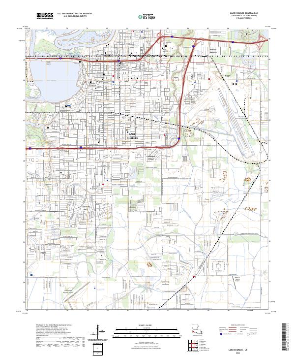
2024 Lake Charles
Calcasieu Parish, LA