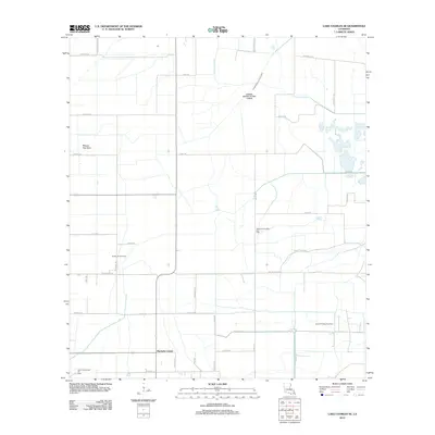
2012 Map of Lake Charles SE
USGS Topo · Published 2012About this map
Hacketts Corner serves as the primary landmark in this low-lying stretch of Cameron Parish, where the landscape is defined by the extraction economy of the early 21st century. The map reveals an extensive network of energy infrastructure, including the North Sweet Lake Oil Field, South Chalkley Gas Field, and Northwest Chalkley Gas Field. These industrial sites are interspersed with agricultural features like Rice Field Rd, illustrating the intersection of Louisiana's traditional land use with modern resource extraction.
Find a feature on this map
41 named features on this map. Tap any name to fly to it.
Don’t see what you’re looking for? This feature index may not catch every label — zoom into the map to look around manually.
Map Details
Editions of this 2012 Lake Charles SE Map
This is the sole edition of this map. No revisions or reprints were ever made.
Other maps of this area

1932 · Lake Charles NE
USGS Topo · 1:31,680

1932 · Lake Charles NW
USGS Topo · 1:31,680

1932 · Lake Charles SW
USGS Topo · 1:31,680

1932 · Lake Charles SE
USGS Topo · 1:31,680

1934 · Lake Misere
USGS Topo · 1:24,000

1934 · Sweet Lake
USGS Topo · 1:24,000

1934 · Boudreaux Lake
USGS Topo · 1:24,000

1935 · Sweet Lake
USGS Topo · 1:31,680

1935 · Lake Misere
USGS Topo · 1:31,680

1935 · Boudreaux Lake
USGS Topo · 1:31,680