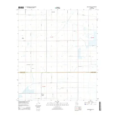
2015 Map of Lake Charles SE
USGS Topo · Published 2015About this map
Hacketts Corner and Holmwood anchor this 2015 survey of the prairie and marshland south of Lake Charles. The landscape is defined by its agricultural water management, evidenced by the Indian Bayou Levee Canal and North Canal. These systems, alongside natural waterways like Jacques Coulee, supported the region's traditional rice farming, indicated by local landmarks such as Rice Field Rd.
Find a feature on this map
40 named features on this map. Tap any name to fly to it.
Don’t see what you’re looking for? This feature index may not catch every label — zoom into the map to look around manually.
Map Details
Editions of this 2015 Lake Charles SE Map
This is the sole edition of this map. No revisions or reprints were ever made.
Other maps of this area

1932 · Lake Charles NE
USGS Topo · 1:31,680

1932 · Lake Charles NW
USGS Topo · 1:31,680

1932 · Lake Charles SW
USGS Topo · 1:31,680

1932 · Lake Charles SE
USGS Topo · 1:31,680

1934 · Lake Misere
USGS Topo · 1:24,000

1934 · Sweet Lake
USGS Topo · 1:24,000

1934 · Boudreaux Lake
USGS Topo · 1:24,000

1935 · Sweet Lake
USGS Topo · 1:31,680

1935 · Lake Misere
USGS Topo · 1:31,680

1935 · Boudreaux Lake
USGS Topo · 1:31,680