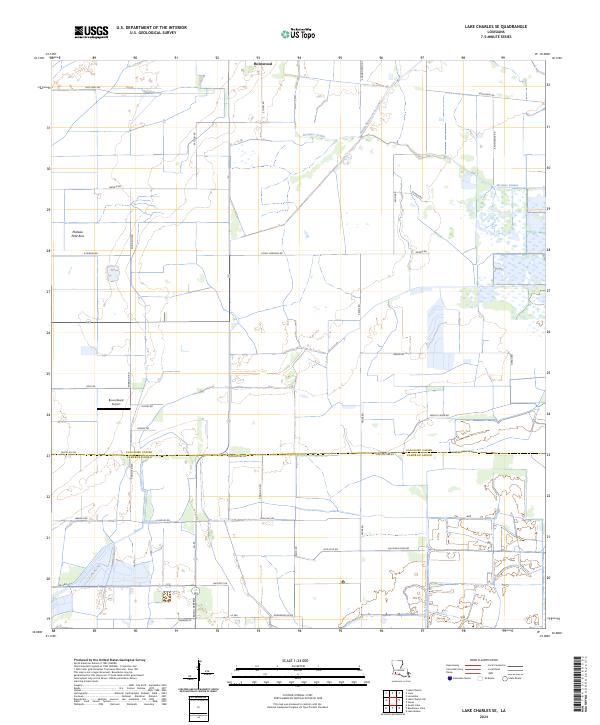
2024 Map of Lake Charles SE
USGS Topo · Published 2024About this map
Holmwood stands as the primary settlement within this southwestern Louisiana landscape, where the flat coastal plains meet an intricate system of drainage canals and coulees. The terrain is defined by its agricultural layout, with long-established road networks like Fruge Rd and Robinson Rd following the township and range lines. Water management is central to the area's development, evidenced by the Indian Bayou Levee Canal and the meandering path of Jacques Coulee. To the west, the label Plateau Petit Bois indicates a distinct topographical rise in an otherwise low-lying region. Aviation history is noted by the presence of the Bruce Beard Airport, while the southern boundary follows the line between Calcasieu Parish and Cameron Parish near the headwaters of Bayou Serpent.
Find a feature on this map
41 named features on this map. Tap any name to fly to it.
Don’t see what you’re looking for? This feature index may not catch every label — zoom into the map to look around manually.
Map Details
Editions of this 2024 Lake Charles SE Map
This is the sole edition of this map. No revisions or reprints were ever made.
Other maps of this area

1932 · Lake Charles NE
USGS Topo · 1:31,680

1932 · Lake Charles NW
USGS Topo · 1:31,680

1932 · Lake Charles SW
USGS Topo · 1:31,680

1932 · Lake Charles SE
USGS Topo · 1:31,680

1934 · Lake Misere
USGS Topo · 1:24,000

1934 · Sweet Lake
USGS Topo · 1:24,000

1934 · Boudreaux Lake
USGS Topo · 1:24,000

1935 · Sweet Lake
USGS Topo · 1:31,680

1935 · Lake Misere
USGS Topo · 1:31,680

1935 · Boudreaux Lake
USGS Topo · 1:31,680