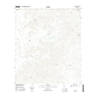
2016 Map of Lake Creek
USGS Topo · Published 2016About this map
The Rawhide Mountains and Mule Mtn dominate this rugged section of the Texas Hill Country, where the landscape is defined by deep drainages and limestone relief. The westward-flowing Nueces River skirts the western edge of the quadrangle, while central drainages like Lake Cr are managed through a series of local impoundments, including Williams Lake Number 1, Williams Lake Number 2, and Williams Lake Number 3. Evidence of ranching operations and remote aviation is seen at the Fossil Creek Ranch Airport. The map details a complex network of springs and canyons, such as Spring Creek Spring and Dugwell Canyon, illustrating how water sources have shaped the historical navigation and habitation of this territory across the Real and Uvalde County line.
Find a feature on this map
32 named features on this map. Tap any name to fly to it.
Don’t see what you’re looking for? This feature index may not catch every label — zoom into the map to look around manually.
Map Details
Editions of this 2016 Lake Creek Map
This is the sole edition of this map. No revisions or reprints were ever made.
Other maps of this area

1893 · Nueces
USGS Topo · 1:125,000

1896 · Nueces
USGS Topo · 1:125,000

1896 · Brackett
USGS Topo · 1:125,000

1897 · Brackett
USGS Topo · 1:125,000

1898 · Uvalde
USGS Topo · 1:125,000

1899 · Uvalde
USGS Topo · 1:125,000

1938 · Turkey Mountain
USGS Topo · 1:48,000

1943 · Turkey Mountain
USGS Topo · 1:62,500

1944 · Barksdale
USGS Topo · 1:62,500

1954 · San Antonio
USGS Topo · 1:250,000