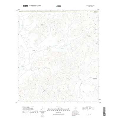
2019 Map of Lake Creek
USGS Topo · Published 2019About this map
The Nueces River winds along the western edge of this territory, where the sharp transition from river valley to upland peaks is defined by the Rawhide Mountains. This drainage basin is characterized by a dense network of seasonal and perennial waterways including Lake Cr, Blucher Cr, and Honey Cr, which have carved deep topographical features such as Cox Hollow and Dugwell Canyon.
Find a feature on this map
31 named features on this map. Tap any name to fly to it.
Don’t see what you’re looking for? This feature index may not catch every label — zoom into the map to look around manually.
Map Details
Editions of this 2019 Lake Creek Map
This is the sole edition of this map. No revisions or reprints were ever made.
Other maps of this area

1893 · Nueces
USGS Topo · 1:125,000

1896 · Nueces
USGS Topo · 1:125,000

1896 · Brackett
USGS Topo · 1:125,000

1897 · Brackett
USGS Topo · 1:125,000

1898 · Uvalde
USGS Topo · 1:125,000

1899 · Uvalde
USGS Topo · 1:125,000

1938 · Turkey Mountain
USGS Topo · 1:48,000

1943 · Turkey Mountain
USGS Topo · 1:62,500

1944 · Barksdale
USGS Topo · 1:62,500

1954 · San Antonio
USGS Topo · 1:250,000