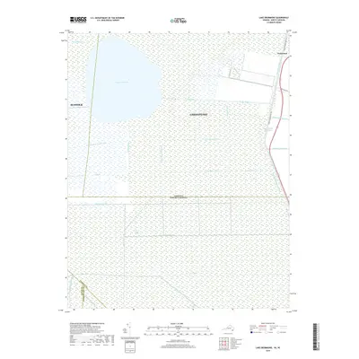
2019 Map of Lake Drummond
USGS Topo · Published 2019About this map
Lake Drummond sits at the heart of this landscape, a large natural body of water surrounded by the dense wetlands of the Great Dismal Swamp. The map documents a complex hydrological network that defines the region, where numerous man-made channels like Riddick Ditch, Kim Saunders Ditch, and Corapeake Ditch cut through the terrain. These ditches, along with the George Washington Ditch, speak to centuries of efforts to manage water and timber resources across the border of Virginia and North Carolina.
Find a feature on this map
33 named features on this map. Tap any name to fly to it.
Don’t see what you’re looking for? This feature index may not catch every label — zoom into the map to look around manually.
Map Details
Editions of this 2019 Lake Drummond Map
This is the sole edition of this map. No revisions or reprints were ever made.
Other maps of this area

1906 · Beckford
USGS Topo · 1:48,000

1907 · Beckford
USGS Topo · 1:62,500

1919 · Suffolk
USGS Topo · 1:62,500

1940 · Beckford
USGS Topo · 1:62,500

1940 · Lake Drummond
USGS Topo · 1:62,500

1940 · South Mills
USGS Topo · 1:62,500

1945 · Lake Drummond
USGS Topo · 1:62,500

1952 · South Mills
USGS Topo · 1:62,500

1953 · Norfolk
USGS Topo · 1:250,000

1954 · Corapeake
USGS Topo · 1:24,000