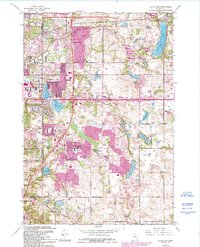
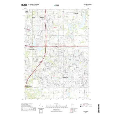
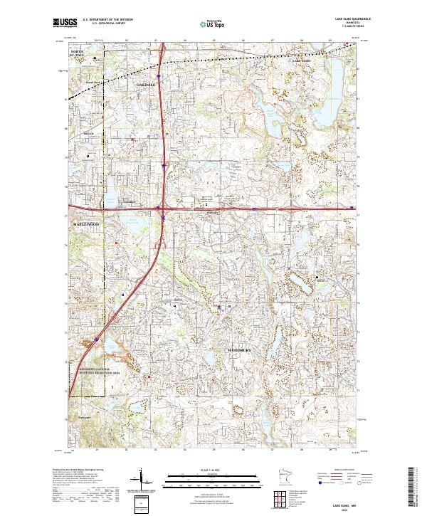
1949 Map of Lake Elmo
USGS Topo · Published 1958About this map
Glacial lakes and rural schoolhouses characterize this landscape on the border of Ramsey and Washington Counties. In the late 1940s, the Chicago and North Western railway cuts through the northern section, serving the settlement of Lake Elmo and passing near the Union Cem. The area is notably dense with local educational landmarks, including School No 13, Lake Park Sch, and Gillie Sch, indicating a well-established network of small rural school districts before the era of major suburban consolidation.
Find a feature on this map
33 named features on this map. Tap any name to fly to it.
Don’t see what you’re looking for? This feature index may not catch every label — zoom into the map to look around manually.
Map Details
Editions of this 1949 Lake Elmo Map
This is the sole edition of this map. No revisions or reprints were ever made.
Historical Maps of Woodbury Through Time
8 maps found