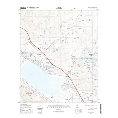
2015 Map of Lake Elsinore
USGS Topo · Published 2015About this map
Lake Elsinore serves as the focal point for this 2015 study, illustrating the dense residential expansion of Lakeland Village and North Elsinore against the backdrop of the Cleveland National Forest. The landscape is a complex mix of natural hydrology and modern infrastructure, featuring the San Jacinto River feeding into the Railroad Reservoir near Canyon Lake. Aviation and local history are represented by the Skylark Field Airport and the Elsinore Valley Cemetery, while named terrain features like Walker Canyon and Sanderson Pass provide a sense of the area's physical geography.
Find a feature on this map
199 named features on this map. Tap any name to fly to it.
Don’t see what you’re looking for? This feature index may not catch every label — zoom into the map to look around manually.
Map Details
Editions of this 2015 Lake Elsinore Map
This is the sole edition of this map. No revisions or reprints were ever made.
Other maps of this area

1901 · Southern California Sheet No. 1
USGS Topo · 1:250,000

1901 · Elsinore
USGS Topo · 1:125,000

1901 · Riverside
USGS Topo · 1:62,500

1904 · Southern California Sheet No. 1
USGS Topo · 1:250,000

1942 · Lake Elsinore
USGS Topo · 1:62,500

1942 · Murrieta
USGS Topo · 1:62,500

1942 · Riverside
USGS Topo · 1:62,500

1942 · Perris
USGS Topo · 1:62,500

1943 · Perris
USGS Topo · 1:62,500

1943 · Riverside
USGS Topo · 1:62,500