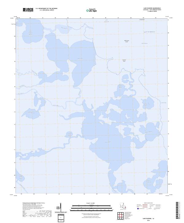
2024 Map of Lake Eugenie
USGS Topo · Published 2024About this map
The marshy coast of St. Bernard Parish unfolds in this recent survey, revealing the intricate water systems where the Gulf of Mexico meets the Louisiana wetlands. Central to the landscape is Lake Eugenie, a significant body of water fed by and connected to a labyrinth of smaller channels such as Bayou Muscle and Crooked Bayou. The area is characterized by low-lying terrain features like Goose Flat and named islands such as Wild Goose Island, illustrating the fluid nature of this coastal environment.
Find a feature on this map
28 named features on this map. Tap any name to fly to it.
Don’t see what you’re looking for? This feature index may not catch every label — zoom into the map to look around manually.
Map Details
Editions of this 2024 Lake Eugenie Map
This is the sole edition of this map. No revisions or reprints were ever made.
Other maps of this area

1893 · Rigolets
USGS Topo · 1:62,500

1893 · Shell Beach
USGS Topo · 1:62,500

1893 · Toulme
USGS Topo · 1:62,500

1895 · Bodreau
USGS Topo · 1:62,500

1935 · Morgan Harbor
USGS Topo · 1:31,680

1936 · Rigolets
USGS Topo · 1:62,500

1939 · Shell Beach
USGS Topo · 1:62,500

1941 · Shell Beach
USGS Topo · 1:62,500

1946 · Oak Mound Bayou
USGS Topo · 1:31,680

1946 · Lake Eugenie
USGS Topo · 1:31,680