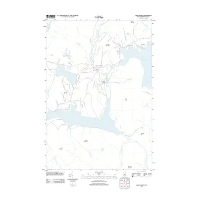
2012 Map of Lake Francis
USGS Topo · Published 2012About this map
The upper Connecticut River corridor defines this northern New Hampshire landscape, where the waters of Lake Francis serve as a central anchor for the local geography. Small settlements like Happy Corner and The Glen mark the human presence in a territory dominated by timbered ridges and glacial water bodies. The infrastructure of the early 21st century is represented by crossing points such as the Happy Corner Bridge and River Road Bridge, which facilitate travel through the dense network of local routes like Indian Stream Rd and Shatney Rd. From the height of Bear Mountain to the shores of Back Lake, the terrain reflects a balance of recreation and wilderness typical of Coos County. Significant tributary systems, including Perry Stream and Indian Stream, feed into the main river channel, illustrating the complex drainage patterns of the northern woods.
Find a feature on this map
82 named features on this map. Tap any name to fly to it.
Don’t see what you’re looking for? This feature index may not catch every label — zoom into the map to look around manually.
Map Details
Editions of this 2012 Lake Francis Map
This is the sole edition of this map. No revisions or reprints were ever made.
Other maps of this area

1925 · Indian Stream
USGS Topo · 1:48,000

1926 · Indian Stream
USGS Topo · 1:62,500

1927 · Indian Stream
USGS Topo · 1:62,500

1927 · Second Lake
USGS Topo · 1:62,500

1930 · Dixville
USGS Topo · 1:62,500

1930 · Errol
USGS Topo · 1:62,500

1932 · Second Lake
USGS Topo · 1:62,500

1933 · Dixville
USGS Topo · 1:62,500

1934 · Dixville
USGS Topo · 1:62,500

1934 · Errol
USGS Topo · 1:62,500