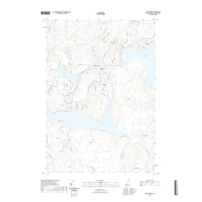
2021 Map of Lake Francis
USGS Topo · Published 2021About this map
Lake Francis and the First Connecticut Lake dominate this northern landscape in Pittsburg, where the Connecticut River connects these significant bodies of water. The topography is defined by prominent peaks such as Covell Mtn and Prospect Mtn, with smaller settlements like Happy Corner and The Glen serving as focal points for local habitation and transport. A network of local roads including N Main St and Back Lake Rd links these communities, while landmarks like the Happy Corner Bridge and River Road Bridge span the waterways that crisscross the terrain.
Find a feature on this map
94 named features on this map. Tap any name to fly to it.
Don’t see what you’re looking for? This feature index may not catch every label — zoom into the map to look around manually.
Map Details
Editions of this 2021 Lake Francis Map
This is the sole edition of this map. No revisions or reprints were ever made.
Other maps of this area

1925 · Indian Stream
USGS Topo · 1:48,000

1926 · Indian Stream
USGS Topo · 1:62,500

1927 · Indian Stream
USGS Topo · 1:62,500

1927 · Second Lake
USGS Topo · 1:62,500

1930 · Dixville
USGS Topo · 1:62,500

1930 · Errol
USGS Topo · 1:62,500

1932 · Second Lake
USGS Topo · 1:62,500

1933 · Dixville
USGS Topo · 1:62,500

1934 · Dixville
USGS Topo · 1:62,500

1934 · Errol
USGS Topo · 1:62,500