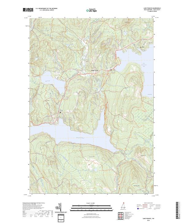
2024 Map of Lake Francis
USGS Topo · Published 2024About this map
The Connecticut River flows through the center of this northern New Hampshire landscape, feeding into the expansive Lake Francis and the First Connecticut Lake. The area is characterized by a dense network of timber roads and recreational trails, such as the Cedar Stream Rd Trl and Carr Ridge Trl, which navigate the elevations of Bear Mountain and South Mtn. Small settlements like Happy Corner and The Glen are situated along the primary corridors, representing the persistent human presence in these high woods. Local heritage is preserved at the Pittsburg Hollow Cem near The Tarns and the Lake Cem situated on the western shore of the First Connecticut Lake. Numerous smaller water bodies, including Back Lake and Jacquith Pond, dot the terrain between ridges like Spooner Hill and Prospect Mtn, illustrating the complex glacial drainage patterns typical of Coos County.
Find a feature on this map
95 named features on this map. Tap any name to fly to it.
Don’t see what you’re looking for? This feature index may not catch every label — zoom into the map to look around manually.
Map Details
Editions of this 2024 Lake Francis Map
This is the sole edition of this map. No revisions or reprints were ever made.
Other maps of this area

1925 · Indian Stream
USGS Topo · 1:48,000

1926 · Indian Stream
USGS Topo · 1:62,500

1927 · Indian Stream
USGS Topo · 1:62,500

1927 · Second Lake
USGS Topo · 1:62,500

1930 · Dixville
USGS Topo · 1:62,500

1930 · Errol
USGS Topo · 1:62,500

1932 · Second Lake
USGS Topo · 1:62,500

1933 · Dixville
USGS Topo · 1:62,500

1934 · Dixville
USGS Topo · 1:62,500

1934 · Errol
USGS Topo · 1:62,500