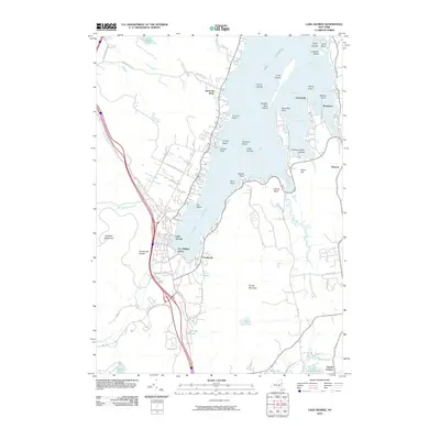
2010 Map of Lake George
USGS Topo · Published 2010About this map
Fort William Henry stands prominently at the southern head of Lake George, marking a landscape where colonial history meets modern recreation. This 2010 survey details the complex shoreline of the lower lake, including the residential communities of Cleverdale, Rockhurst, and Diamond Point. The map captures the significant elevation changes between the water level and the surrounding peaks, such as Prospect Mountain and French Mountain, while the winding Prospect Mountain Hwy provides access to the western heights. Numerous islands are charted throughout the basin, from Diamond Island to the Happy Family Islands. The transportation network is a central feature, showing the development around the village of Lake George and the eastern roads like Bay Rd and Pickle Hill Rd that serve the various bays and points of the eastern shore.
Find a feature on this map
95 named features on this map. Tap any name to fly to it.
Don’t see what you’re looking for? This feature index may not catch every label — zoom into the map to look around manually.
Map Details
Editions of this 2010 Lake George Map
This is the sole edition of this map. No revisions or reprints were ever made.
Other maps of this area

1895 · North Creek
USGS Topo · 1:62,500

1895 · Glens Falls
USGS Topo · 1:62,500

1897 · Bolton
USGS Topo · 1:62,500

1897 · Glens Falls
USGS Topo · 1:62,500

1897 · North Creek
USGS Topo · 1:62,500

1900 · Bolton
USGS Topo · 1:62,500

1903 · Luzerne
USGS Topo · 1:62,500

1938 · Glens Falls
USGS Topo · 1:62,500

1947 · Glens Falls
USGS Topo · 1:62,500

1950 · Glens Falls
USGS Topo · 1:250,000