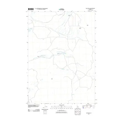
2010 Map of Lake Hills
USGS Topo · Published 2010About this map
Lake Hills rises above a landscape defined by water management and high-desert drainage in this 2010 survey of Blaine County. The area’s ranching and irrigation history is visible through the presence of Campbell Reservoir in the northwest and Cameron Reservoir further east, which are controlled by structures like Howard Dam and Albrethsen Dam. These man-made features work alongside natural water sources such as Billingsley Spring, Watercress Spring, and Mud Springs to sustain the territory between Friedman Creek and the South Fork Muldoon Creek. In the southwest, the Little Wood River flows near the West Canal and East Canal, illustrating the importance of water rights and distribution in this Idaho landscape. Transportation is sparse, primarily consisting of corridors like Flat Top RD and Little Fish Creek RD, which serve remote landmarks including the Flat Top Airstrip.
Find a feature on this map
21 named features on this map. Tap any name to fly to it.
Don’t see what you’re looking for? This feature index may not catch every label — zoom into the map to look around manually.
Map Details
Editions of this 2010 Lake Hills Map
This is the sole edition of this map. No revisions or reprints were ever made.
Other maps of this area

1895 · Hailey
USGS Topo · 1:125,000

1897 · Hailey
USGS Topo · 1:125,000

1935 · MacKay
USGS Topo · 1:96,000

1955 · Idaho Falls
USGS Topo · 1:250,000

1955 · Hailey
USGS Topo · 1:250,000

1958 · Idaho Falls
USGS Topo · 1:250,000

1959 · Hailey
USGS Topo · 1:250,000

1960 · Muldoon Canyon
USGS Topo · 1:62,500

1962 · Hailey
USGS Topo · 1:250,000

1967 · Baugh Creek
USGS Topo · 1:24,000