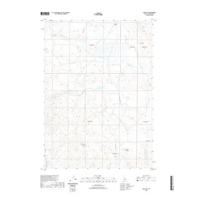
2020 Map of Lake Hills
USGS Topo · Published 2020About this map
Lake Hills anchors this Blaine County landscape, where water management and ranching infrastructure define the terrain. The northern reaches are characterized by drainage networks including S Fork Muldoon Cr and Friedman Cr, with the Flat Top Airstrip situated near the high ground of Flat Top Rd. This area is a complex hydrologic zone, featuring numerous springs and ponds such as Billingsley Spring, Watercress Spring, and Weigle Pond. The southwestern corner is dominated by the Little Wood River Reservoir and its associated irrigation infrastructure, including the W Canal and E Canal. Canyons and draws carve through the topography, from the prominent Black Nose peak in the northeast down through Box Canyon and Phillips Canyon, illustrating the erosional patterns of this high-desert environment.
Find a feature on this map
25 named features on this map. Tap any name to fly to it.
Don’t see what you’re looking for? This feature index may not catch every label — zoom into the map to look around manually.
Map Details
Editions of this 2020 Lake Hills Map
This is the sole edition of this map. No revisions or reprints were ever made.
Other maps of this area

1895 · Hailey
USGS Topo · 1:125,000

1897 · Hailey
USGS Topo · 1:125,000

1935 · MacKay
USGS Topo · 1:96,000

1955 · Idaho Falls
USGS Topo · 1:250,000

1955 · Hailey
USGS Topo · 1:250,000

1958 · Idaho Falls
USGS Topo · 1:250,000

1959 · Hailey
USGS Topo · 1:250,000

1960 · Muldoon Canyon
USGS Topo · 1:62,500

1962 · Hailey
USGS Topo · 1:250,000

1967 · Baugh Creek
USGS Topo · 1:24,000