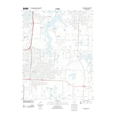
2011 Map of Lake Jacomo
USGS Topo · Published 2011About this map
The suburban development of Lees Summit meets a complex network of reservoirs and parklands in this 2011 record of eastern Jackson County. The expansive waters of Lake Jacomo dominate the central landscape, accompanied by specialized recreation sites such as the Radio Control Flying Field, Sailboat Cove, and the unique Native Hoofed Animal Enclosure. This area represents a significant intersection of modern infrastructure and preserved open space, where the McComas-Lees Summit Municipal Airport and residential tracts sit alongside historic markers like the Cowherd Cemetery and Lee's Summit Cemetery.
Find a feature on this map
124 named features on this map. Tap any name to fly to it.
Don’t see what you’re looking for? This feature index may not catch every label — zoom into the map to look around manually.
Map Details
Editions of this 2011 Lake Jacomo Map
This is the sole edition of this map. No revisions or reprints were ever made.
Other maps of this area

1887 · Harrisonville
USGS Topo · 1:125,000

1892 · Harrisonville
USGS Topo · 1:125,000

1894 · Harrisonville
USGS Topo · 1:125,000

1894 · Independence
USGS Topo · 1:125,000

1933 · Blue Springs
USGS Topo · 1:24,000

1934 · Oak Grove
USGS Topo · 1:24,000

1934 · Independence
USGS Topo · 1:24,000

1934 · Lees Summit
USGS Topo · 1:24,000

1934 · Woods Chapel
USGS Topo · 1:24,000

1935 · Tarsney
USGS Topo · 1:24,000