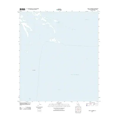
2012 Map of Lake La Graisse
USGS Topo · Published 2012About this map
Bayou Terrebonne winds through the northern portion of this Louisiana coastal landscape, where the marshy fingers of the delta transition into open water. This 2012 survey documents a fragile environment dominated by the sprawling Terrebonne Bay and the northern reaches of the Gulf of Mexico. The map highlights the interplay of tidal waterways and receding landmasses, characteristic of the state's southern parish coastlines. To the northeast, the waters of Lake Barre are prominent, while small land features like Point Meshe provide critical reference points in an area defined by shifting shorelines. To the south, Bayou l'Ourse represents the intricate network of distributaries that have historically shaped this region's geography and local navigation routes.
Find a feature on this map
6 named features on this map. Tap any name to fly to it.
Don’t see what you’re looking for? This feature index may not catch every label — zoom into the map to look around manually.
Map Details
Editions of this 2012 Lake La Graisse Map
This is the sole edition of this map. No revisions or reprints were ever made.
Other maps of this area

1894 · Timbalier
USGS Topo · 1:62,500

1894 · Lake Felicity
USGS Topo · 1:62,500

1894 · Dulac
USGS Topo · 1:62,500

1935 · Cocodrie
USGS Topo · 1:31,680

1935 · Bourbeux
USGS Topo · 1:31,680

1935 · Timbalier Island
USGS Topo · 1:31,680

1935 · Lake Quitman
USGS Topo · 1:31,680

1939 · Lake Felicity
USGS Topo · 1:62,500

1941 · Lake Felicity
USGS Topo · 1:62,500

1941 · Dulac
USGS Topo · 1:62,500