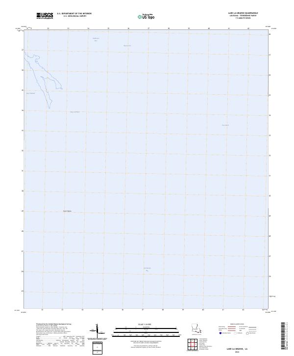
2024 Map of Lake La Graisse
USGS Topo · Published 2024About this map
Terrebonne Bay dominates this coastal landscape, illustrating the intricate relationship between the Gulf of Mexico and the fading marshlands of south Louisiana. This modern survey reveals a highly fragmented shoreline where open water and narrow tidal passes like Seabreeze Pass and Pass Barre define the geography. The absence of traditional landmarks or roads highlights a region defined entirely by its hydrography and the shifting boundaries of the coastal zone. Bay Chaland and Bay Lost Reef sit within a complex of small islands and bayous, such as Bayou Jose, that characterize the fragile environment south of the mainland. A singular landform, Point Meshe, extends into the bay, providing a fixed reference point in an area otherwise subject to the constant movement of tides and sediment.
Find a feature on this map
10 named features on this map. Tap any name to fly to it.
Don’t see what you’re looking for? This feature index may not catch every label — zoom into the map to look around manually.
Map Details
Editions of this 2024 Lake La Graisse Map
This is the sole edition of this map. No revisions or reprints were ever made.
Other maps of this area

1894 · Timbalier
USGS Topo · 1:62,500

1894 · Lake Felicity
USGS Topo · 1:62,500

1894 · Dulac
USGS Topo · 1:62,500

1935 · Cocodrie
USGS Topo · 1:31,680

1935 · Bourbeux
USGS Topo · 1:31,680

1935 · Timbalier Island
USGS Topo · 1:31,680

1935 · Lake Quitman
USGS Topo · 1:31,680

1939 · Lake Felicity
USGS Topo · 1:62,500

1941 · Lake Felicity
USGS Topo · 1:62,500

1941 · Dulac
USGS Topo · 1:62,500