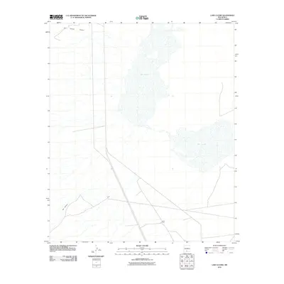
2010 Map of Lake Lucero
USGS Topo · Published 2010About this map
Lake Lucero dominates the central basin of this landscape in southern New Mexico, representing a dynamic environment of ephemeral water and playa deposits. To the south, the isolated Lucero Ranch provides a human footprint in a region defined by wide-open spaces and harsh terrain. The western edge of the map is shaped by the drainage systems of the San Andres Mountains, where San Andres Canyon and Ash Canyon cut through the slopes, directing runoff toward the alkali flats. This survey captures the relationship between the mountainous catchments and the terminal basin of the Tularosa Valley during the first decade of the 2000s.
Find a feature on this map
4 named features on this map. Tap any name to fly to it.
Don’t see what you’re looking for? This feature index may not catch every label — zoom into the map to look around manually.
Map Details
Editions of this 2010 Lake Lucero Map
This is the sole edition of this map. No revisions or reprints were ever made.
Other maps of this area

1916 · Tonuco
USGS Topo · 1:125,000

1916 · Point Of Sands
USGS Topo · 1:125,000

1932 · Tonuco
USGS Topo · 1:125,000

1947 · Point Of Sands 2
USGS Topo · 1:62,500

1947 · Lake Lucero
USGS Topo · 1:62,500

1948 · Bear Peak
USGS Topo · 1:62,500

1948 · Kaylor Mountain
USGS Topo · 1:62,500

1948 · Lake Lucero
USGS Topo · 1:24,000

1948 · Lake Lucero SW
USGS Topo · 1:24,000

1948 · Lake Lucero SE
USGS Topo · 1:24,000