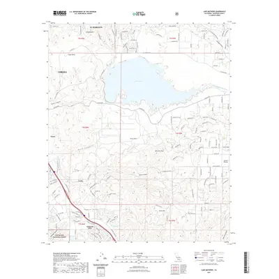
2021 Map of Lake Mathews
USGS Topo · Published 2021About this map
Lake Mathews dominates the central landscape of this Riverside County region, serving as a primary reservoir terminal for the Colorado River Aqueduct. The terrain transitions from the developed eastern edge of Corona into the high ridges of the Cleveland National Forest to the southwest. This modern survey illustrates the proximity of residential growth in El Sobrante to the protected watershed and the historical mining and clay-processing corridor through the Temescal Valley. Key topographic markers like Monument Peak, Estelle Mtn, and Arlington Mtn define the surrounding heights, while the drainage of the Temescal Wash flows through the southern valley floor. Small settlements and former stops such as Weisel and Arcilla are noted along the transit lines, documenting the persistent footprint of industry and habitation between the Santa Ana Mountains and the Gavilan Plateau.
Find a feature on this map
124 named features on this map. Tap any name to fly to it.
Don’t see what you’re looking for? This feature index may not catch every label — zoom into the map to look around manually.
Map Details
Editions of this 2021 Lake Mathews Map
This is the sole edition of this map. No revisions or reprints were ever made.
Other maps of this area

1901 · Southern California Sheet No. 1
USGS Topo · 1:250,000

1901 · Elsinore
USGS Topo · 1:125,000

1901 · Riverside
USGS Topo · 1:62,500

1902 · Corona
USGS Topo · 1:125,000

1904 · Southern California Sheet No. 1
USGS Topo · 1:250,000

1942 · Lake Elsinore
USGS Topo · 1:62,500
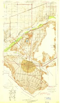
1942 · Corona and Vicinity
USGS Topo · 1:31,680
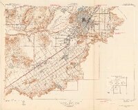
1942 · Riverside and Vicinity
USGS Topo · 1:31,680

1942 · Santiago Peak
USGS Topo · 1:62,500

1942 · Corona
USGS Topo · 1:62,500