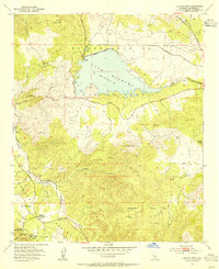
1953 Map of Lake Mathews
USGS Topo · Published 1955About this map
Lake Mathews dominates the northern landscape of this mid-century survey, serving as a critical terminal reservoir for the Colorado River Aqueduct. The surrounding hills of the El Sobrante De San Jacinto land grant reveal a history of extraction and early settlement, including the Cajalco Tin Mine and numerous Clay Pits near Arcilla. Local history is deeply rooted here, marked by the Indian Pictographs Historical Marker and the Site of the First House in Riverside County near the Temescal Valley. The terrain rises sharply toward Monument Peak and Arlington Mtn, while the southwestern corner transitions into the Cleveland Nat Forest near the resort grounds of Glen Ivy Hot Springs. This map captures a pivotal era of water infrastructure development while preserving the locations of early 19th-century cultural sites and the industrial footprint of the local mining districts.
Find a feature on this map
30 named features on this map. Tap any name to fly to it.
Don’t see what you’re looking for? This feature index may not catch every label — zoom into the map to look around manually.
Map Details
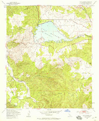
Editions of this 1953 Lake Mathews Map
2 editions found
Other maps of this area

1901 · Southern California Sheet No. 1
USGS Topo · 1:250,000

1901 · Elsinore
USGS Topo · 1:125,000

1901 · Riverside
USGS Topo · 1:62,500

1902 · Corona
USGS Topo · 1:125,000

1904 · Southern California Sheet No. 1
USGS Topo · 1:250,000

1942 · Lake Elsinore
USGS Topo · 1:62,500
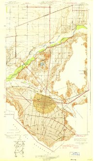
1942 · Corona and Vicinity
USGS Topo · 1:31,680
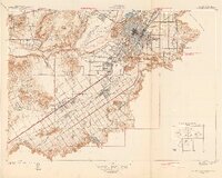
1942 · Riverside and Vicinity
USGS Topo · 1:31,680

1942 · Santiago Peak
USGS Topo · 1:62,500

1942 · Corona
USGS Topo · 1:62,500