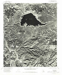
1974 Map of Lake Mathews
USGS Topo · Published 1975About this map
Lake Mathews dominates the northern half of this Riverside County landscape, its irregular shoreline and massive dam structure clearly visible through orthophotographic imaging. The aerial perspective from 1974 reveals the stark contrast between the engineered reservoir and the deeply folded topography of the Temescal Mountains to the south. Dawson Canyon cuts a sharp horizontal line through these hills, leading toward the prominent heights of Estelle Mtn. Below the water line, the map shows a mosaic of agricultural plots and developing road networks, capturing a moment when the region's water infrastructure and natural landforms were being systematically documented by the U.S. Geological Survey in cooperation with the U. S. Soil Conservation Service.
Find a feature on this map
3 named features on this map. Tap any name to fly to it.
Don’t see what you’re looking for? This feature index may not catch every label — zoom into the map to look around manually.
Map Details
Editions of this 1974 Lake Mathews Map
This is the sole edition of this map. No revisions or reprints were ever made.
Other maps of this area

1901 · Southern California Sheet No. 1
USGS Topo · 1:250,000

1901 · Elsinore
USGS Topo · 1:125,000

1901 · Riverside
USGS Topo · 1:62,500

1902 · Corona
USGS Topo · 1:125,000

1904 · Southern California Sheet No. 1
USGS Topo · 1:250,000

1942 · Lake Elsinore
USGS Topo · 1:62,500
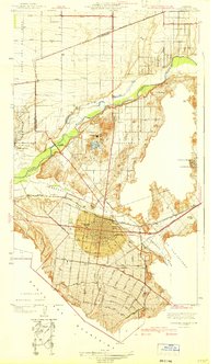
1942 · Corona and Vicinity
USGS Topo · 1:31,680
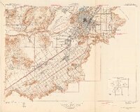
1942 · Riverside and Vicinity
USGS Topo · 1:31,680

1942 · Santiago Peak
USGS Topo · 1:62,500

1942 · Corona
USGS Topo · 1:62,500