
1939 Map of Lake Mc Bride
USGS Topo · Published 1958About this map
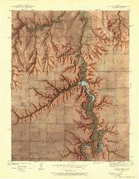
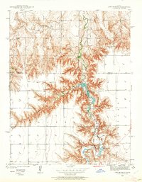
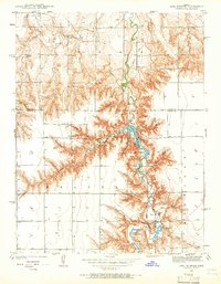
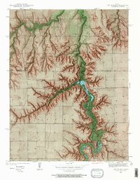
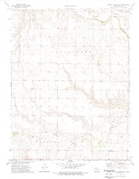
El Quartelejo Pueblo Ruins Monument stands as a focal point along the winding course of Ladder Creek, highlighting the deep cultural history of this western Kansas landscape. Surveyed just before the Second World War, the map documents a transition in land use where traditional ranching and farming intersect with early state-level conservation and recreation efforts. The development of Lake McBride and Christy Lake, supported by the Christy Dam, indicates the mid-century push for water management in the arid High Plains.
Find a feature on this map
32 named features on this map. Tap any name to fly to it.
Don’t see what you’re looking for? This feature index may not catch every label — zoom into the map to look around manually.
Map Details
Editions of this 1939 Lake Mc Bride Map
5 editions found
Other maps of this area

1939 · Sandon
USGS Topo · 1:62,500

1939 · Pence
USGS Topo · 1:62,500

1941 · Pence
USGS Topo · 1:62,500

1942 · Sandon
USGS Topo · 1:62,500

1942 · Lake Mc Bride
USGS Topo · 1:31,680

1955 · Scott City
USGS Topo · 1:250,000

1958 · Scott City
USGS Topo · 1:250,000

1974 · Elkader SW
USGS Topo · 1:24,000

1974 · Elkader
USGS Topo · 1:24,000
1974 · Russell Springs SE
USGS Topo · 1:24,000