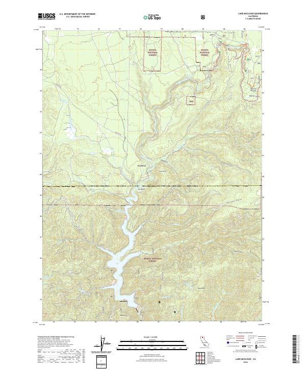
2022 Map of Lake McCloud
USGS Topo · Published 2022About this map
Wyntoon sits prominently along the McCloud River, serving as a central landmark in this portion of the Shasta National Forest. The landscape is defined by the significant impoundment of Lake McCloud, which stretches through the center of the sheet, and the complex drainage systems of Tarantula Gulch, Quail Gulch, and Fitzhugh Gulch. The northern reaches of the river are characterized by a series of cascades, including Upper Falls, Middle Falls, and Lower Falls, near where the Upper McCloud River flows past Pine Tree Hollow.
Find a feature on this map
48 named features on this map. Tap any name to fly to it.
Don’t see what you’re looking for? This feature index may not catch every label — zoom into the map to look around manually.
Map Details
Editions of this 2022 Lake McCloud Map
This is the sole edition of this map. No revisions or reprints were ever made.
Other maps of this area

1886 · Modoc Lava Bed
USGS Topo · 1:250,000

1886 · Shasta
USGS Topo · 1:250,000

1892 · Modoc Lava-Bed
USGS Topo · 1:250,000

1894 · Shasta
USGS Topo · 1:250,000

1932 · Bartle
USGS Topo · 1:96,000

1935 · Dunsmuir
USGS Topo · 1:125,000

1939 · Bartle
USGS Topo · 1:125,000

1948 · Weed
USGS Topo · 1:250,000

1950 · Weed
USGS Topo · 1:250,000

1954 · Shoeinhorse Mountain
USGS Topo · 1:62,500