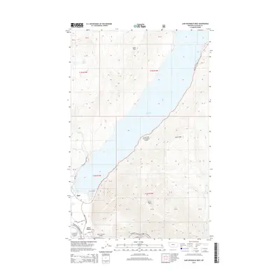
2014 Map of Lake McDonald West
USGS Topo · Published 2014About this map
Lake McDonald dominates the landscape of this 2014 survey, serving as the central geographic feature of the western entrance to Glacier National Park. The map documents the primary access points and visitor infrastructure of the era, including the village of Apgar and the start of the iconic Going-To-The-Sun Rd. Settlement patterns are concentrated near the park's edge, where West Glacier sits near the Middle Fork Flathead River, which forms a natural southern boundary. High elevation features such as Howe Ridge, Snyder Ridge, and the Belton Hills surround the deep glacial waters of the lake. Transport and recreation routes are well-defined, from the Apgar Loop Rd to the secluded Howe Lake, illustrating the careful balance between wilderness preservation and public access in the Flathead National Forest and national park interface.
Find a feature on this map
38 named features on this map. Tap any name to fly to it.
Don’t see what you’re looking for? This feature index may not catch every label — zoom into the map to look around manually.
Map Details
Editions of this 2014 Lake McDonald West Map
This is the sole edition of this map. No revisions or reprints were ever made.
Other maps of this area

1904 · Chief Mountain
USGS Topo · 1:125,000

1906 · Kintla Lakes
USGS Topo · 1:125,000

1914 · Nyack
USGS Topo · 1:125,000

1938 · Chief Mountain
USGS Topo · 1:125,000

1938 · Kintla Lakes
USGS Topo · 1:125,000

1943 · Kalispell
USGS Topo · 1:125,000

1957 · Kalispell
USGS Topo · 1:250,000

1960 · Kalispell
USGS Topo · 1:250,000

1960 · Cut Bank
USGS Topo · 1:250,000

1961 · Kalispell
USGS Topo · 1:250,000