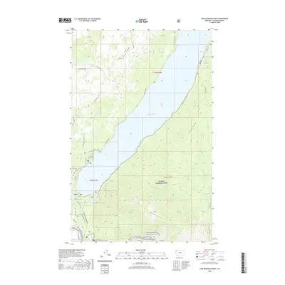
2020 Map of Lake McDonald West
USGS Topo · Published 2020About this map
Apgar serves as the primary gateway to the southwest interior of Glacier National Park, where the waters of Lake McDonald dominate the landscape. This 2020 survey details the complex network of access points and recreational infrastructure near the foot of the lake, including the Apgar Campground A Loop and the start of the iconic Going-to-the-Sun Road. The map tracks the transition from the developed village area to the steep elevations of Howe Ridge and Snyder Ridge, providing a precise record of the trails and secondary roads such as Barn Road and the Apgar Bike Trail that serve the park's visitors.
Find a feature on this map
41 named features on this map. Tap any name to fly to it.
Don’t see what you’re looking for? This feature index may not catch every label — zoom into the map to look around manually.
Map Details
Editions of this 2020 Lake McDonald West Map
This is the sole edition of this map. No revisions or reprints were ever made.
Other maps of this area
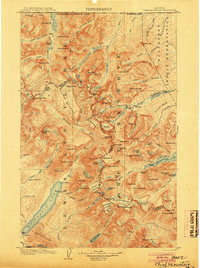
1904 · Chief Mountain
USGS Topo · 1:125,000
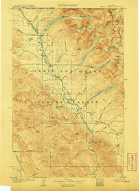
1906 · Kintla Lakes
USGS Topo · 1:125,000
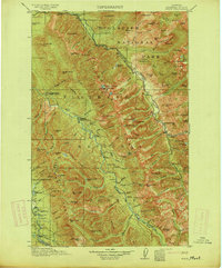
1914 · Nyack
USGS Topo · 1:125,000
1938 · Chief Mountain
USGS Topo · 1:125,000
1938 · Kintla Lakes
USGS Topo · 1:125,000
1943 · Kalispell
USGS Topo · 1:125,000
1957 · Kalispell
USGS Topo · 1:250,000
1960 · Kalispell
USGS Topo · 1:250,000
1960 · Cut Bank
USGS Topo · 1:250,000
1961 · Kalispell
USGS Topo · 1:250,000