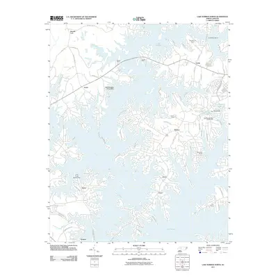
2011 Map of Lake Norman North
USGS Topo · Published 2011About this map
Lake Norman dominates this 2011 landscape, where the intricate, sprawling shoreline of the Catawba River valley defines the geography of Iredell and Catawba Counties. The map reveals a highly developed residential and recreational network, characterized by numerous marinas such as Midway Marina, The Pier Marina, and Jims Marina. While much of the land is dedicated to lake-oriented growth, older community roots remain visible at Sherrills Ford and Terrell. Local history is preserved at the Rockwell Cemetery and Williamson Cemetery, which stand as quiet landmarks amidst modern subdivisions and winding roads like Barber Loop. The presence of the Lake Norman Airport and industrial features such as the Auto Storage Dam Number One near McCrory Creek highlights the area's diverse infrastructure serving the growing North Carolina Piedmont region.
Find a feature on this map
82 named features on this map. Tap any name to fly to it.
Don’t see what you’re looking for? This feature index may not catch every label — zoom into the map to look around manually.
Map Details
Editions of this 2011 Lake Norman North Map
This is the sole edition of this map. No revisions or reprints were ever made.
Other maps of this area

1893 · Statesville
USGS Topo · 1:125,000

1895 · Hickory
USGS Topo · 1:125,000

1914 · Gastonia
USGS Topo · 1:48,000

1916 · Gastonia
USGS Topo · 1:62,500

1941 · Charlotte
USGS Topo · 1:125,000

1942 · Charlotte
USGS Topo · 1:125,000

1949 · Hicks Crossroads
USGS Topo · 1:24,000

1953 · Charlotte
USGS Topo · 1:250,000

1954 · Charlotte
USGS Topo · 1:250,000

1960 · Charlotte
USGS Topo · 1:250,000