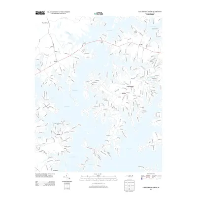
2013 Map of Lake Norman North
USGS Topo · Published 2013About this map
Lake Norman dominates this 2013 survey of the Iredell County shoreline, revealing a landscape defined by intricate fingers of water and sophisticated lakeside development. The intricate network of residential roads, such as Inverness Loop and Peninsula Dr, illustrates the transition of historic rural areas into established waterfront communities. Small settlements like Sherrills Ford, Terrell, and Mayhew serve as anchor points along the western and northern banks, while specialized infrastructure like the Lake Norman Airpark and The Pier Marina highlight the area's recreational and transit economy. Farther south near Westport, the map captures the extensive dock systems and access points including the Little Creek Access Area, reflecting the high density of late-modern suburban growth around this central North Carolina reservoir.
Find a feature on this map
269 named features on this map. Tap any name to fly to it.
Don’t see what you’re looking for? This feature index may not catch every label — zoom into the map to look around manually.
Map Details
Editions of this 2013 Lake Norman North Map
This is the sole edition of this map. No revisions or reprints were ever made.
Other maps of this area

1893 · Statesville
USGS Topo · 1:125,000

1895 · Hickory
USGS Topo · 1:125,000

1914 · Gastonia
USGS Topo · 1:48,000

1916 · Gastonia
USGS Topo · 1:62,500

1941 · Charlotte
USGS Topo · 1:125,000

1942 · Charlotte
USGS Topo · 1:125,000

1949 · Hicks Crossroads
USGS Topo · 1:24,000

1953 · Charlotte
USGS Topo · 1:250,000

1954 · Charlotte
USGS Topo · 1:250,000

1960 · Charlotte
USGS Topo · 1:250,000