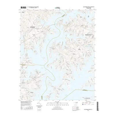
2016 Map of Lake Norman North
USGS Topo · Published 2016About this map
Lake Norman dominates this landscape, its intricate shoreline forming a complex network of coves and peninsulas across the borders of Catawba, Iredell, Lincoln, and Mecklenburg counties. The map captures the suburban and recreational development of the early 21st century, with extensive road networks like Sherrills Ford Rd and Plantation Dr serving lakeside communities. Pockets of the area's earlier history remain visible through features such as Rockwell Cem and Williamson Cem, while the Lake Norman Airpark and industrial sites like Auto Storage Lake Number One indicate more modern economic shifts. The terrain is marked by significant features like Gold Mine Island and the confluence of small waterways including McCrary Cr and Beaverdam Cr, illustrating how the man-made lake has reshaped the local geography around established towns like Mooresville and Cornelius.
Find a feature on this map
198 named features on this map. Tap any name to fly to it.
Don’t see what you’re looking for? This feature index may not catch every label — zoom into the map to look around manually.
Map Details
Editions of this 2016 Lake Norman North Map
This is the sole edition of this map. No revisions or reprints were ever made.
Other maps of this area

1893 · Statesville
USGS Topo · 1:125,000

1895 · Hickory
USGS Topo · 1:125,000

1914 · Gastonia
USGS Topo · 1:48,000

1916 · Gastonia
USGS Topo · 1:62,500

1941 · Charlotte
USGS Topo · 1:125,000

1942 · Charlotte
USGS Topo · 1:125,000

1949 · Hicks Crossroads
USGS Topo · 1:24,000

1953 · Charlotte
USGS Topo · 1:250,000

1954 · Charlotte
USGS Topo · 1:250,000

1960 · Charlotte
USGS Topo · 1:250,000