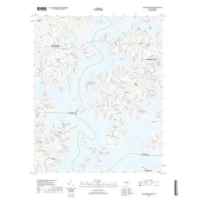
2019 Map of Lake Norman North
USGS Topo · Published 2019About this map
Lake Norman dominates this 2019 landscape, where the irregular shorelines of Iredell, Catawba, Lincoln, and Mecklenburg counties converge. The modern settlement patterns of Mooresville and Cornelius show significant residential expansion along the waterfront, particularly near points like Westport and Lake Norman of Catawba. Unlike the agricultural past of the Piedmont, this era is defined by complex road networks such as Brawley School Rd and Riviera Dr that serve lakeside communities.
Find a feature on this map
207 named features on this map. Tap any name to fly to it.
Don’t see what you’re looking for? This feature index may not catch every label — zoom into the map to look around manually.
Map Details
Editions of this 2019 Lake Norman North Map
This is the sole edition of this map. No revisions or reprints were ever made.
Other maps of this area

1893 · Statesville
USGS Topo · 1:125,000

1895 · Hickory
USGS Topo · 1:125,000

1914 · Gastonia
USGS Topo · 1:48,000

1916 · Gastonia
USGS Topo · 1:62,500

1941 · Charlotte
USGS Topo · 1:125,000

1942 · Charlotte
USGS Topo · 1:125,000

1949 · Hicks Crossroads
USGS Topo · 1:24,000

1953 · Charlotte
USGS Topo · 1:250,000

1954 · Charlotte
USGS Topo · 1:250,000

1960 · Charlotte
USGS Topo · 1:250,000