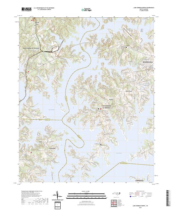
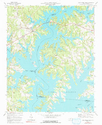
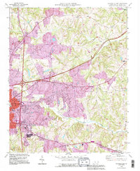
2023 Map of Lake Norman North
USGS Topo · Published 2023About this map
Lake Norman dominates this 2023 landscape, its intricate shoreline creating a complex network of peninsulas and inlets that define modern residential patterns in Iredell, Catawba, and Lincoln counties. The map illustrates the contemporary expansion of communities like Sherrills Ford, Westport, and Terrell, where road networks have densified around the water's edge. Historic anchors remain visible amidst the suburban growth, including Berea Baptist Church Cem and Morrows Chapel United Methodist Church Cem.
Find a feature on this map
222 named features on this map. Tap any name to fly to it.
Don’t see what you’re looking for? This feature index may not catch every label — zoom into the map to look around manually.
Map Details
Editions of this 2023 Lake Norman North Map
This is the sole edition of this map. No revisions or reprints were ever made.
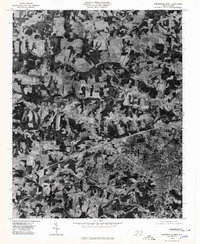
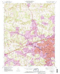
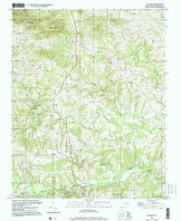
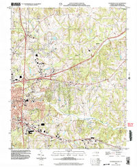
Historical Maps of Doolie Through Time
17 maps found
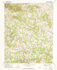
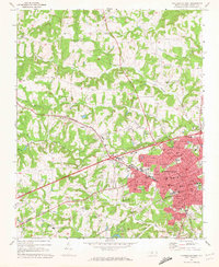
1969 Central
Iredell County, NC
1969 Shepherds
Iredell County, NC
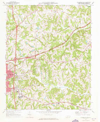
1969 Statesville East
Iredell County, NC
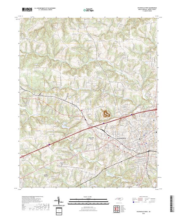
1969 Statesville West
Iredell County, NC
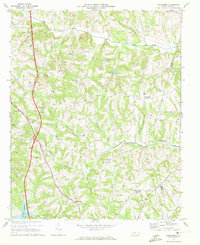
1970 Lake Norman North
Iredell County, NC
1976 Statesville West
Iredell County, NC
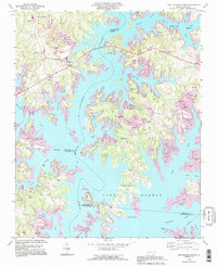
1993 Lake Norman North
Iredell County, NC
1993 Statesville East
Iredell County, NC
1993 Statesville West
Iredell County, NC
1997 Central
Iredell County, NC
2002 Statesville East
Iredell County, NC
2002 Statesville West
Iredell County, NC
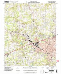
2022 Central
Iredell County, NC
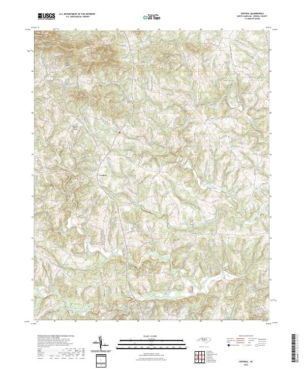
2022 Shepherds
Iredell County, NC
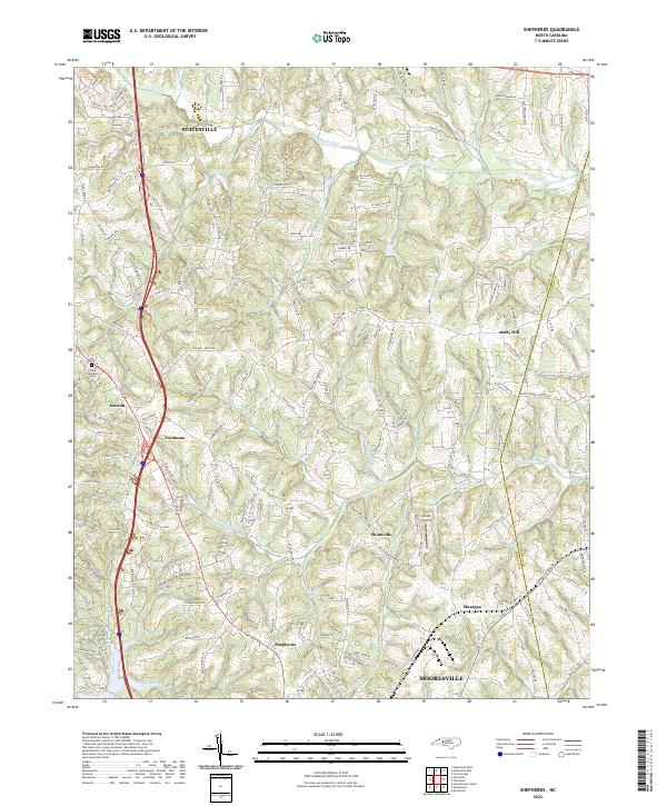
2022 Statesville East
Iredell County, NC
2022 Statesville West
Iredell County, NC
2023 Lake Norman North
Iredell County, NC