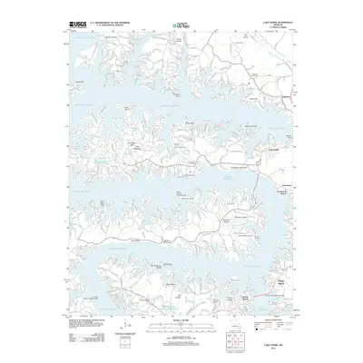
2011 Map of Lake Ozark
USGS Topo · Published 2011About this map
Lake of the Ozarks dominates this landscape, its sprawling fingers and numerous coves creating a labyrinthine shoreline. The complex geography is defined by prominent peninsulas like Horseshoe Bend and Shawnee Bend, where residential development and resort infrastructure have shaped the modern era. Significant landmarks such as the Bagnell Dam and various aviation facilities, including the Mud Harbor Seaplane Base and Tan Tar A Resort Seaplane Base, point to the area's long-standing role as a recreation and transport hub.
Find a feature on this map
72 named features on this map. Tap any name to fly to it.
Don’t see what you’re looking for? This feature index may not catch every label — zoom into the map to look around manually.
Map Details
Editions of this 2011 Lake Ozark Map
This is the sole edition of this map. No revisions or reprints were ever made.
Other maps of this area

1888 · Versailles
USGS Topo · 1:125,000

1893 · Versailles
USGS Topo · 1:125,000

1904 · Eldon
USGS Topo · 1:62,500

1904 · Gravois Mills
USGS Topo · 1:62,500

1932 · Versailles No 4
USGS Topo · 1:48,000

1934 · Camdenton
USGS Topo · 1:24,000

1934 · Purvis
USGS Topo · 1:24,000

1934 · Toronto
USGS Topo · 1:24,000

1934 · Lake Ozark
USGS Topo · 1:24,000

1934 · Bagnell
USGS Topo · 1:24,000