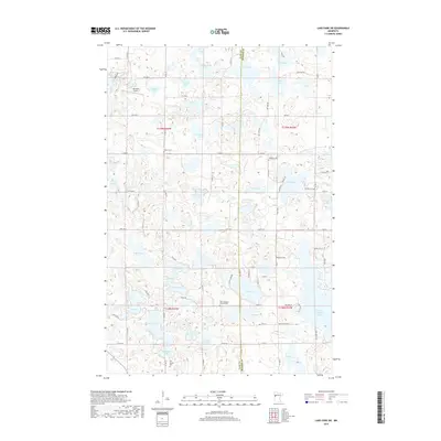
2019 Map of Lake Park SW
USGS Topo · Published 2019About this map
Glacial depressions and numerous small water bodies define the landscape along the border of Clay and Becker counties. The area is characterized by a high density of named lakes, including Upper Cormorant Lake, Bijou Lake, and Sand Lake, which suggest a terrain shaped by post-glacial activity. For the local historian or genealogist, the map preserves the locations of several small community anchors, such as Park Lutheran Church and its adjacent Park Lutheran Cemetery. These religious sites, along with family-named or historic burial grounds like Old Yankee Cemetery, Houglum Cemetery, and Solem Cemetery, provide critical spatial context for late 19th and early 20th-century settlement patterns. Aside from the scattered rural residences and the Johnston Airport, the region remains largely agricultural, with a grid of section roads like Co HWY 118 and Co RD 12 facilitating movement between the many wetlands and lakes.
Find a feature on this map
73 named features on this map. Tap any name to fly to it.
Don’t see what you’re looking for? This feature index may not catch every label — zoom into the map to look around manually.
Map Details
Editions of this 2019 Lake Park SW Map
This is the sole edition of this map. No revisions or reprints were ever made.
Other maps of this area

1914 · Pelican Rapids
USGS Topo · 1:62,500

1917 · Pelican Rapids
USGS Topo · 1:62,500

1919 · Barnesville
USGS Topo · 1:62,500

1919 · Hawley
USGS Topo · 1:62,500

1952 · Barnesville
USGS Topo · 1:62,500

1953 · Fargo
USGS Topo · 1:250,000

1956 · Fargo
USGS Topo · 1:250,000
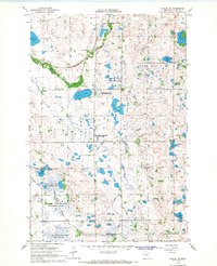
1966 · Hawley SE
USGS Topo · 1:24,000
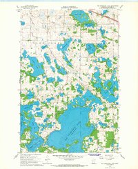
1966 · Big Cormorant Lake
USGS Topo · 1:24,000
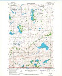
1966 · Dale
USGS Topo · 1:24,000