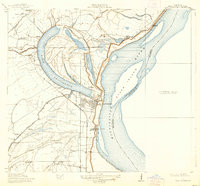
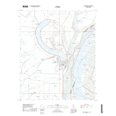
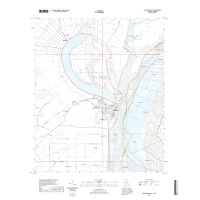
1911 Map of Lake Providence
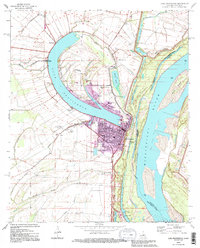
USGS Topo · Published 1939About this map
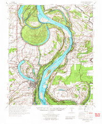
The oxbow of Lake Providence and the shifting course of the Mississippi River define this corner of Northeast Louisiana in the early twentieth century. This survey, conducted in cooperation with the Fifth Louisiana Levee District, documents the critical interface between the river's hydrology and the established plantation economy. Large estates including Belle Mead Plantation, Buck Meadows Plantation, and Tyrone Plantation occupy the fertile lands protected by the levee system, while the Iron Mountain and Southern railroad connects the parish seat to wider markets.
Find a feature on this map
34 named features on this map. Tap any name to fly to it.
Don’t see what you’re looking for? This feature index may not catch every label — zoom into the map to look around manually.
Map Details
Editions of this 1911 Lake Providence Map
2 editions found
Historical Maps of Lake Providence Through Time
10 maps found
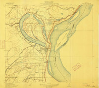
1909 Lake Providence
East Carroll Parish, LA
1911 Lake Providence
East Carroll Parish, LA
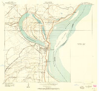
1970 Lake Providence
East Carroll Parish, LA
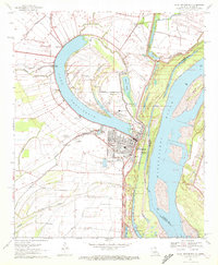
1972 Lake Providence
East Carroll Parish, LA
1994 Lake Providence
East Carroll Parish, LA
2012 Lake Providence
East Carroll Parish, LA
2015 Lake Providence
East Carroll Parish, LA
2018 Lake Providence
East Carroll Parish, LA
2020 Lake Providence
East Carroll Parish, LA
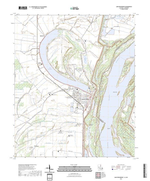
2024 Lake Providence
East Carroll Parish, LA