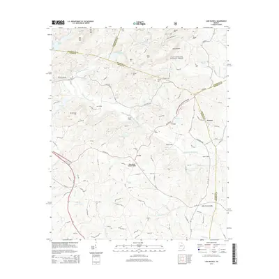
2014 Map of Lake Russell
USGS Topo · Published 2014About this map
Pruitt and Pinefield Crossroads serve as central points in this landscape of the upper Broad River basin, where the Middle Fork Broad River winds through the foothills of the Chattahoochee National Forest. The map documents a rural transition zone defined by numerous small water impoundments, including Reservoir 17 and Reservoir 30, alongside family-named landmarks like Wells Mtn and Norton Hill.
Find a feature on this map
119 named features on this map. Tap any name to fly to it.
Don’t see what you’re looking for? This feature index may not catch every label — zoom into the map to look around manually.
Map Details
Editions of this 2014 Lake Russell Map
This is the sole edition of this map. No revisions or reprints were ever made.
Other maps of this area

1886 · Dahlonega
USGS Topo · 1:125,000

1886 · Walhalla
USGS Topo · 1:125,000

1891 · Gainesville
USGS Topo · 1:125,000

1891 · Carnesville
USGS Topo · 1:125,000

1892 · Dahlonega
USGS Topo · 1:125,000

1892 · Walhalla
USGS Topo · 1:125,000

1896 · Walhalla
USGS Topo · 1:125,000

1896 · Dahlonega
USGS Topo · 1:125,000

1903 · Dahlonega
USGS Topo · 1:125,000

1954 · Greenville
USGS Topo · 1:250,000