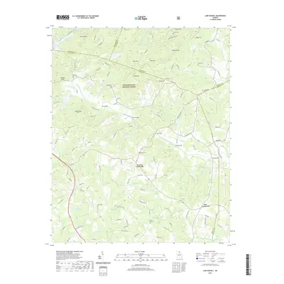
2020 Map of Lake Russell
USGS Topo · Published 2020About this map
The Chattahoochee National Forest dominates this Northeast Georgia landscape, where the Middle Fork Broad River winds through a complex terrain of ridges and valleys. Several small-scale agricultural and rural residential patterns are anchored by historic family-named burial grounds like Leatherwood Cem, Farmer Cem, and Payne Cem. The river's path is marked by a series of crossings that have historically connected these isolated upland communities, including Moss Bridge, Brown Bridge, and Line Bridge.
Find a feature on this map
131 named features on this map. Tap any name to fly to it.
Don’t see what you’re looking for? This feature index may not catch every label — zoom into the map to look around manually.
Map Details
Editions of this 2020 Lake Russell Map
This is the sole edition of this map. No revisions or reprints were ever made.
Other maps of this area

1886 · Dahlonega
USGS Topo · 1:125,000

1886 · Walhalla
USGS Topo · 1:125,000

1891 · Gainesville
USGS Topo · 1:125,000

1891 · Carnesville
USGS Topo · 1:125,000

1892 · Dahlonega
USGS Topo · 1:125,000

1892 · Walhalla
USGS Topo · 1:125,000

1896 · Walhalla
USGS Topo · 1:125,000

1896 · Dahlonega
USGS Topo · 1:125,000

1903 · Dahlonega
USGS Topo · 1:125,000

1954 · Greenville
USGS Topo · 1:250,000