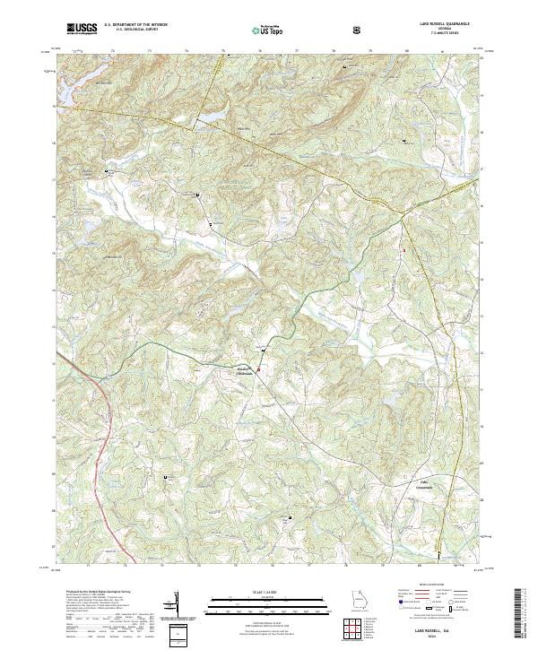
2024 Map of Lake Russell
USGS Topo · Published 2024About this map
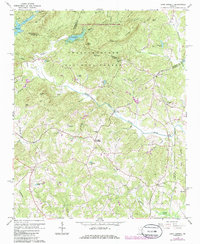
Chattahoochee National Forest dominates the northern reaches of this landscape, where the waters of Nancy Town Lake and Lake Russell collect at the foot of Red Root Mtn. The terrain is defined by the winding course of the Middle Fork Broad River, which creates a complex network of drainage basins including Big Leatherwood Creek and Tates Creek. Small family and community ties are evident in the numerous burial grounds scattered across the countryside, such as Broad River Cem, Leatherwood Cem, and Damascus Cem.
Find a feature on this map
126 named features on this map. Tap any name to fly to it.
Don’t see what you’re looking for? This feature index may not catch every label — zoom into the map to look around manually.
Map Details
Editions of this 2024 Lake Russell Map
This is the sole edition of this map. No revisions or reprints were ever made.
Historical Maps of Pruitt Through Time
6 maps found