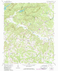
1964 Map of Lake Russell
USGS Topo · Published 1986About this map
Lake Russell and the Nancy Town Lake form the northern anchor of this landscape within the Chattahoochee National Forest. The Middle Fork Broad River winds through a heavily wooded terrain marked by prominent heights like Red Roof Mountain and Wells Mountain. Settlement patterns in the mid-1960s are defined by quiet rural intersections such as Pinefield Crossroads and Odis Crossroads.
Find a feature on this map
58 named features on this map. Tap any name to fly to it.
Don’t see what you’re looking for? This feature index may not catch every label — zoom into the map to look around manually.
Map Details
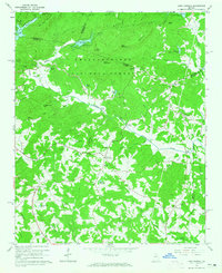
Editions of this 1964 Lake Russell Map
2 editions found
Other maps of this area

1886 · Dahlonega
USGS Topo · 1:125,000

1886 · Walhalla
USGS Topo · 1:125,000

1891 · Gainesville
USGS Topo · 1:125,000

1891 · Carnesville
USGS Topo · 1:125,000

1892 · Dahlonega
USGS Topo · 1:125,000

1892 · Walhalla
USGS Topo · 1:125,000

1896 · Walhalla
USGS Topo · 1:125,000

1896 · Dahlonega
USGS Topo · 1:125,000

1903 · Dahlonega
USGS Topo · 1:125,000

1954 · Greenville
USGS Topo · 1:250,000