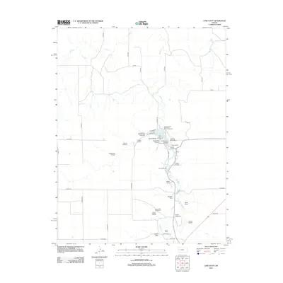
2012 Map of Lake Scott
USGS Topo · Published 2012About this map
Lake Scott sits at the heart of this Western Kansas landscape, where the waters of Ladder Cr have carved a series of significant canyons and draws through the High Plains. The area is defined by a dense concentration of historical and recreational sites, most notably the Squaws Den Battleground and the McBride Monument, marking the intersection of local history and the natural terrain. The map reveals an intricate network of drainage features like Horsethief Canyon and Battle Canyon, which break the flat horizon of the surrounding prairie.
Find a feature on this map
48 named features on this map. Tap any name to fly to it.
Don’t see what you’re looking for? This feature index may not catch every label — zoom into the map to look around manually.
Map Details
Editions of this 2012 Lake Scott Map
This is the sole edition of this map. No revisions or reprints were ever made.
Other maps of this area

1939 · Lake Mc Bride
USGS Topo · 1:24,000

1939 · Sandon
USGS Topo · 1:62,500

1939 · Pence
USGS Topo · 1:62,500

1941 · Pence
USGS Topo · 1:62,500

1942 · Sandon
USGS Topo · 1:62,500

1942 · Lake Mc Bride
USGS Topo · 1:31,680

1955 · Scott City
USGS Topo · 1:250,000

1958 · Scott City
USGS Topo · 1:250,000

1974 · Elkader SW
USGS Topo · 1:24,000

1974 · Elkader
USGS Topo · 1:24,000